Tropical Cyclone Sepat Hit Japan and Its Remnants Continue to Kamchatka
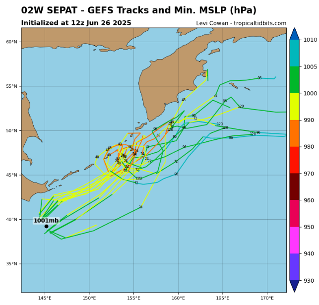
June 26, 2025 — Tropical Depression Sepat is moving northeast of Honshu, currently located about 394 km SSE of Misawa and 103 km SSE of Yokosuka, with sustained winds of 30–40 mph (45–70 km/h).
🔄 Transition to Extratropical Cyclone
Satellite data shows Sepat’s wind field is becoming elongated and asymmetric, signaling the onset of extratropical transition as it interacts with cooler sea surfaces (~23 °C) and increasing wind shear. It is expected to complete this transition within the next 12 hours, accelerating northeast under an incoming long-wave trough. The JTWC has issued its final warning.
🌍 Regional Context & Outlook
- Sepat will likely be absorbed into a larger extratropical low near the Kuril Islands this weekend.
- Meanwhile, Tropical Depression 03W is forming near southern China, and some models indicate a stronger typhoon may develop in the Western Pacific later this week.
- Confidence in longer-range forecasts remains low, but maritime operations and coastal businesses across Asia are advised to maintain vigil.
Summary: Sepat—no longer a tropical cyclone—is rapidly evolving into an extratropical storm, bringing continued rainfall, wind, and marine turbulence across Japan. The transition will conclude by Friday, but impacts may linger. Stay tuned to official weather bulletins as the system progresses toward the Kurils.
Source: https://www.tropicaltidbits.com/storminfo/02W_gefs_latest.png


