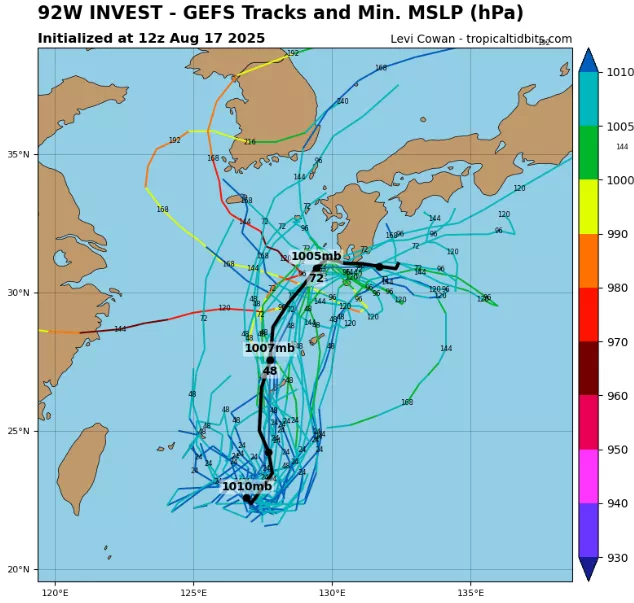
Invest 92W is now affecting Japan and the Korean Peninsula, bringing heavy rains, gusty winds, and widespread marine hazards despite remaining only a low-level tropical system. As of 12:00 UTC, August 17, 2025, the disturbance was located near 22.9°N, 127.5°E, with maximum sustained winds of 20 kt (37 km/h) and a minimum central pressure of 1008 mb.
Unlike more compact tropical depressions, Invest 92W features a very broad circulation, with a radius of maximum winds estimated at 160 nautical miles (nearly 300 km). This expansive wind field ensures that the system’s impacts extend far from its poorly defined center, spreading unstable weather conditions across the Ryukyu Islands, southern Japan, and the East China Sea.
Satellite observations show scattered deep convection erupting in the northern semicircle, fueled by warm sea surface temperatures near 29 °C. However, the circulation remains highly elongated, with moderate vertical wind shear (15–20 kt) preventing thunderstorms from consolidating into a well-defined core.
Meteorological Assessment
- Winds: 20 kt sustained, localized squalls up to 25–30 kt, particularly on the eastern flank.
- Pressure: 1008 mb central, weak but consistent cyclonic turning.
- Radius of Maximum Winds: 160 nm, unusually broad, typical of monsoon depressions.
- Moisture: High precipitable water (>60 mm) supporting torrential rainfall efficiency.
- Rainfall Potential: 100–200 mm likely over Okinawa, Kyushu, and parts of southern Korea, with isolated totals above 250 mm in mountainous terrain.
Impacts on Japan and the Koreas
Even without tropical storm classification, Invest 92W’s wide footprint is already bringing rough seas and dangerous swells to the East China Sea and Yellow Sea. Ferry services in Okinawa and western Japan have been disrupted, while coastal fishing fleets in South Korea are remaining in port due to deteriorating marine conditions.
Forecast models project 92W to continue drifting north-northeastward, gradually steering toward Kyushu and southern Korea under the influence of the subtropical ridge and a mid-latitude trough. The primary hazard will be rainfall, with flooding and landslide risks in southern Japan’s mountainous areas and in North and South Korea’s river basins.
Forecast Outlook
- Short-Term (24–48 hours): Heavy rainfall across Okinawa, Kyushu, and South Korea. Winds remain below tropical storm strength, but coastal seas roughen to 2–4 meters.
- Medium-Term (72 hours): System moves into the Korean Peninsula, maintaining broad circulation. Rainfall extends into North Korea and the Sea of Japan, with possible enhancement from frontal interactions.
- Long-Term: Weakening inland but with residual flooding risk as moisture feeds into the East Asian summer monsoon.
Conclusion
Invest 92W illustrates the danger of broad, monsoon-type circulations. Even without strong winds, its vast radius of maximum winds (160 nm) ensures impacts over a large swath of East Asia. For Japan and the Koreas, the greatest threats are flash flooding, landslides, and maritime hazards, underscoring the fact that weak tropical systems can be just as disruptive as stronger storms when moisture and size combine against densely populated coastlines.
Source: https://www.tropicaltidbits.com/storminfo/#92W


