Bomb Cyclone Batters New South Wales: Torrential Rain, Damaging Winds Cause Widespread Disruption
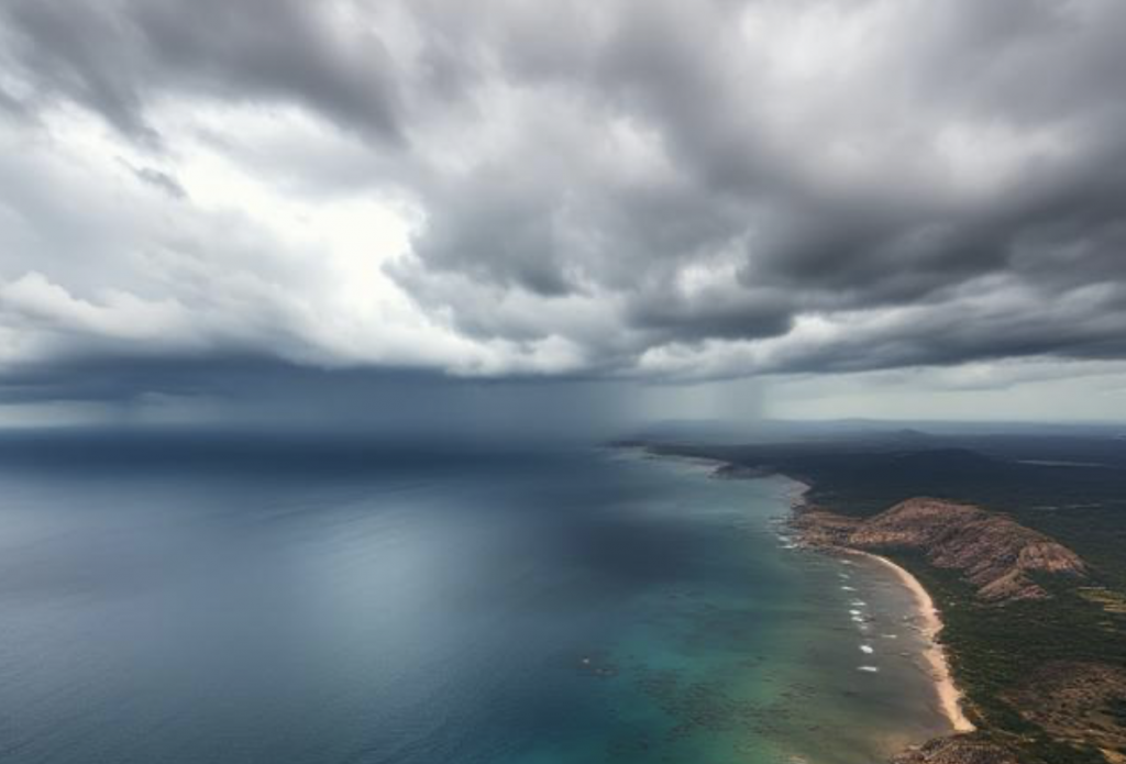
A powerful coastal low, described by meteorologists as a “bomb cyclone,” tore through New South Wales between July 1st and 2nd, 2025, unleashing torrential rainfall and hurricane-force wind gusts across densely populated parts of the state. The explosive system intensified rapidly off Australia’s east coast, battering the Illawarra, Shoalhaven, and Greater Sydney regions with wind gusts up to 125 km/h (77 mph) and rainfall totals exceeding 200 mm (7.9 in) in some locations. The Bureau of Meteorology issued emergency warnings across coastal areas as the system caused flash flooding, dangerous surf, and widespread disruption to transport and infrastructure.
By midday on July 2nd, the Sydney Metro Airport had closed one of its runways due to roof damage, while ferry services in the city were suspended amid choppy seas and gale-force winds. More than 37,000 homes across New South Wales experienced power outages as falling trees and debris brought down power lines. Emergency services responded to hundreds of calls for assistance, including rescues from floodwaters in low-lying areas around the Hawkesbury-Nepean Valley and South Coast. In Kiama and Nowra, streets were inundated with muddy floodwater after localized rainfall topped 180 mm (7.1 in) in just 24 hours—more than double the region’s average rainfall for the entire month of July.
The intense rainfall overwhelmed stormwater systems and triggered landslides in the Blue Mountains and parts of the Illawarra Escarpment, prompting road closures and rail service suspensions. Evacuation warnings were issued in low-lying parts of Shellharbour, Wollongong, and parts of Sydney’s western suburbs. Schools across the region were either closed or shifted to remote learning, and authorities encouraged residents to work from home. The dangerous wind conditions caused structural damage to homes, tore roofing from buildings, and hurled debris across roads and highways.
July is typically a wet winter month for New South Wales, but many stations experienced rainfall totals far exceeding the monthly norm within just 24 to 36 hours. In comparison, Sydney averages around 95 mm (3.7 in) for the entire month of July. However, Sydney’s Observatory Hill recorded more than 130 mm (5.1 in) by the afternoon of July 2nd alone. On the South Coast, areas like Ulladulla and Batemans Bay reported between 140–200 mm (5.5–7.9 in) over 48 hours. This intensity and duration of rainfall—coupled with saturated soils from previous weeks—greatly increased the risk of rapid-onset flooding.
Meteorologists attributed the strength of this system to a rare midwinter interaction between an upper-level trough and warm sea surface temperatures off the coast of southeastern Australia. While ocean temperatures in the Tasman Sea are typically cool in winter, recent anomalies show SSTs running up to 2 °C above average in some areas, providing added moisture and energy to the storm. This “bombogenesis” event—a rapid drop in central pressure—intensified the system quickly and allowed it to mimic the characteristics of a winter hurricane, a relatively rare occurrence for the Australian east coast.
As the system continues to move offshore, forecasters expect conditions to ease, though lingering showers and gusty winds are likely to persist into July 3rd. Authorities have warned that rivers in the affected regions remain swollen, and further localized flooding is possible. Residents are urged to stay updated with official weather alerts and to avoid floodwaters. With winter storms projected to grow more intense in a warming climate, meteorologists say this event underscores the growing volatility of Australia’s east coast weather.


