Erin brought Record Rainfall in NW Africa! Cape Verde 192.3 mm/5 hours, Senegal 152 mm/24 hours, 9 Killed in Cape Verde and Sao Vicente!
Unprecedented Rainfall Event
When meteorologists warned that Hurricane Erin’s moisture could fuel heavy rainfall in Northwest Africa, few imagined just how devastating it would become. In just five hours, the island nation of Cape Verde measured 192.3 mm of rain—an amount equal to nearly six months of typical rainfall compressed into a single morning. Streets turned into raging rivers, entire hillsides collapsed under the weight of water, and the nation’s fragile infrastructure was left reeling.
Neighboring Senegal was also struck, receiving 152 mm in just 24 hours. In a region where average monthly rainfall rarely approaches such totals outside of peak monsoon bursts, this deluge pushed drainage systems and river channels far beyond their capacity.
Human Tragedy: Deaths and Destruction
At least 9 people have died across Cape Verde and the island of São Vicente, victims of flash floods, collapsing homes, and landslides triggered by the torrential downpour. Rescue teams worked through the night, often with nothing more than ropes and improvised rafts, pulling survivors from flooded homes. Roads across São Vicente were ripped apart, and entire fishing villages found themselves isolated.
Eyewitnesses describe cars being swept like toys, while marketplaces—usually the vibrant centers of daily life—were submerged under brown, churning water.
Meteorological Context
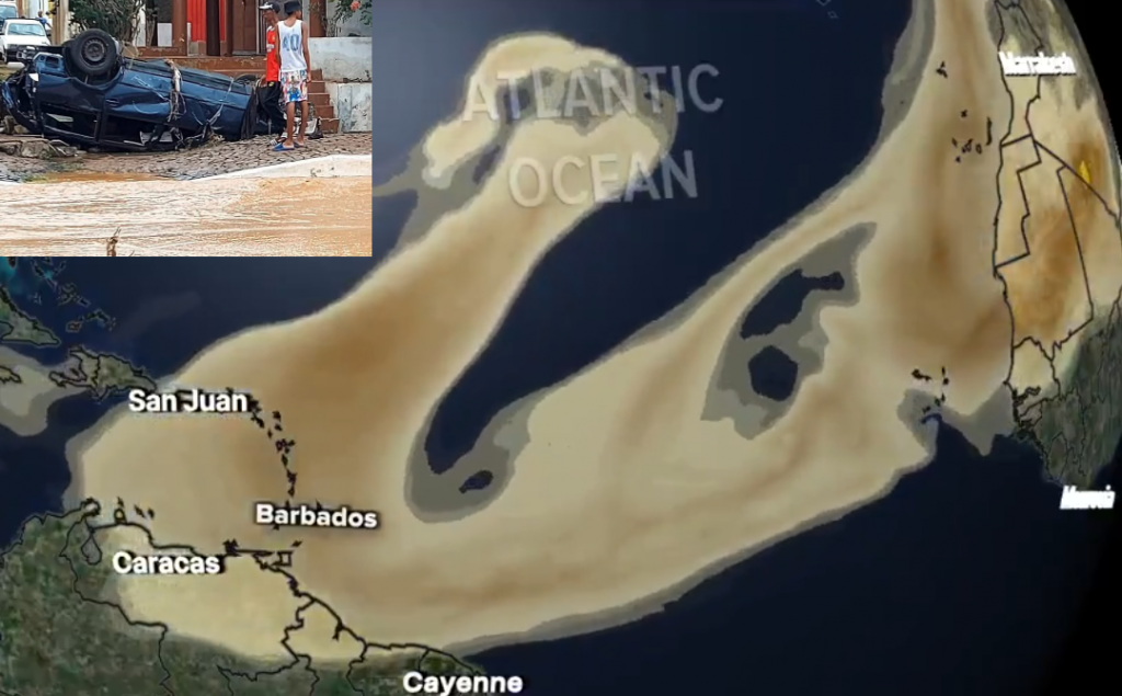
The source of this catastrophic rain lay in Erin’s vast moisture plume. While the hurricane itself roared westward in the Atlantic as a Category 5 giant, its outer bands and tropical convergence zone reached into Africa’s western coast. This interaction with local topography—volcanic islands in Cape Verde and low-lying plains in Senegal—enhanced rainfall rates to staggering extremes.
Meteorological data revealed:
- Cape Verde (Praia): 192.3 mm in 5 hours, peak rate over 60 mm/hour.
- São Vicente: 138 mm in 12 hours, leading to landslide activity on steep slopes.
- Senegal (Dakar): 152 mm in 24 hours, worst August storm in decades.
The combination of saturated soils from earlier rains and blocked drainage turned what could have been manageable flooding into a lethal event.
Broader Impacts on NW Africa
Agricultural regions have been badly hit. In Senegal, rice fields and peanut farms were inundated just as harvests were beginning, threatening food supplies. In Cape Verde, where agriculture already suffers under arid conditions, the flooding washed away topsoil and destroyed terraced fields built into the mountainsides.
Airports in Praia and São Vicente were temporarily closed due to flooded runways, delaying aid shipments and stranding passengers. Electricity outages were widespread, as transformers were submerged or knocked out by mudslides.
Climate and Vulnerability
Events like this underscore the growing vulnerability of West Africa to extreme weather. While hurricanes rarely strike directly, their moisture can interact with African monsoons, unleashing catastrophic rainfall. Climate scientists warn that warming seas and shifting weather patterns may increase the frequency of such extremes—forcing coastal and island nations like Cape Verde to adapt quickly or face repeated disasters.
Looking Forward
Authorities in Cape Verde and Senegal have begun recovery efforts, but with lives lost and infrastructure shattered, it will be a long process. Meteorologists continue to track Erin’s moisture plume, which could fuel more heavy rain further north in Morocco or Algeria.
For now, the people of Northwest Africa face the aftermath of a storm whose face they never saw directly, but whose rains brought devastation all the same.
Illustration picture: The Informat / Scott X


