Exceptional Spring Heatwave in Western USA: Death Valley Hits 117°F (47.2°C)
In late May 2025, an unprecedented spring heatwave gripped the western United States, with Death Valley, California, reaching a scorching 117°F (47.2°C). This temperature not only marked a significant early-season heat event but also shattered numerous monthly temperature records across the region.
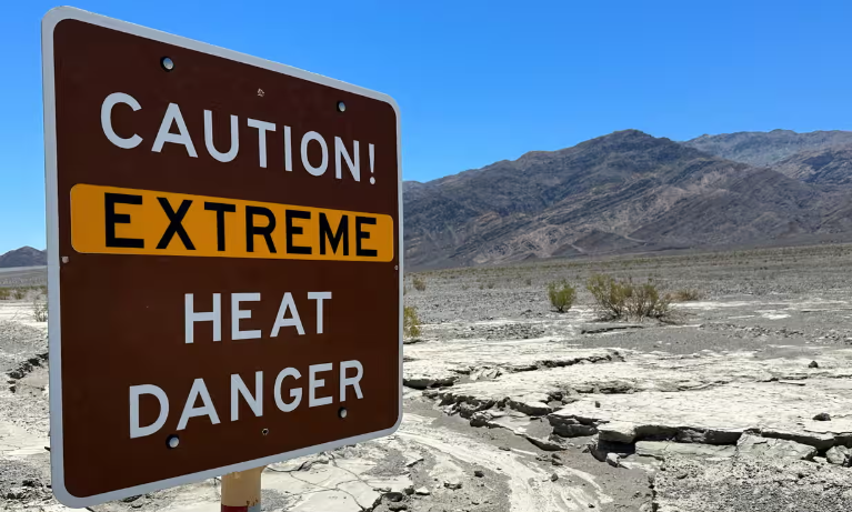
Unprecedented Temperatures in Death Valley
Death Valley, renowned as one of the hottest places on Earth, experienced its highest temperature of the year on May 31, 2025, with a peak of 117°F (47.2°C). This extreme heat surpassed the previous month’s records, including a 100°F (37.8°C) reading on March 25, which was the third-earliest 100°F day since 1911. The region’s high temperatures were attributed to a persistent high-pressure system that settled over the area, leading to clear skies and intense solar heating.
Widespread Record-Breaking Heat
The heatwave extended beyond Death Valley, affecting much of the western United States. Cities such as Las Vegas, Nevada, and Sacramento, California, experienced temperatures soaring into the low 100s°F. For instance, Sacramento reached 103°F (39.4°C), tying an old record from 1910, while Redding saw a high of 107°F (41.7°C). These temperatures were 10 to 20 degrees above normal for this time of year, prompting the National Weather Service to issue heat advisories and warnings across the region.
Health and Safety Concerns
The early onset of such extreme heat posed significant health risks, especially for vulnerable populations. The National Weather Service issued warnings about the dangers of heat-related illnesses, advising residents to stay hydrated, avoid prolonged outdoor activities, and seek air-conditioned environments. The heatwave also increased the risk of wildfires due to dry conditions and heightened evaporation rates.
Western US Cities Heatwave Forecast (Daily Max/Min °F & °C)
Period: June 1 – June 15, 2025
| City | Min Temp Range (°F / °C) | Max Temp Range (°F / °C) | Notes on Forecast |
|---|---|---|---|
| Death Valley, CA | 85 – 95 / 29.5 – 35 | 110 – 118 / 43.3 – 47.8 | Extreme heat persists, near record highs mid-June |
| Las Vegas, NV | 75 – 85 / 23.9 – 29.4 | 105 – 112 / 40.6 – 44.4 | Intense heatwave with little relief |
| Phoenix, AZ | 80 – 90 / 26.7 – 32.2 | 105 – 111 / 40.6 – 43.9 | Prolonged hot days, potential heat advisories |
| Sacramento, CA | 60 – 70 / 15.5 – 21.1 | 95 – 105 / 35 – 40.6 | High heat, some variability with occasional relief |
| Redding, CA | 60 – 70 / 15.5 – 21.1 | 100 – 107 / 37.8 – 41.7 | Warm, stable heatwave conditions |
| San Diego, CA | 65 – 70 / 18.3 – 21.1 | 85 – 92 / 29.4 – 33.3 | Moderately warm, coastal cooling effects |
| Portland, OR | 55 – 60 / 12.8 – 15.5 | 80 – 90 / 26.7 – 32.2 | Warm but below extreme heat |
| Seattle, WA | 55 – 60 / 12.8 – 15.5 | 75 – 85 / 23.9 – 29.4 | Mild heatwave conditions |
| Salt Lake City, UT | 60 – 70 / 15.5 – 21.1 | 95 – 103 / 35 – 39.4 | Hot with potential for very warm days |
| Albuquerque, NM | 60 – 70 / 15.5 – 21.1 | 95 – 105 / 35 – 40.6 | Dry heat, stable temperatures |
| Fresno, CA | 60 – 70 / 15.5 – 21.1 | 95 – 105 / 35 – 40.6 | Persistent warm weather, occasional extreme heat |
| Boise, ID | 55 – 65 / 12.8 – 18.3 | 85 – 95 / 29.4 – 35 | Warm with moderate highs |
| Eugene, OR | 50 – 60 / 10 – 15.5 | 75 – 85 / 23.9 – 29.4 | Mild temperatures, some warm days |
| Santa Fe, NM | 55 – 65 / 12.8 – 18.3 | 85 – 95 / 29.4 – 35 | Warm days, cooler nights |
| Bakersfield, CA | 65 – 75 / 18.3 – 23.9 | 100 – 108 / 37.8 – 42.2 | Very hot, persistent heatwave conditions |
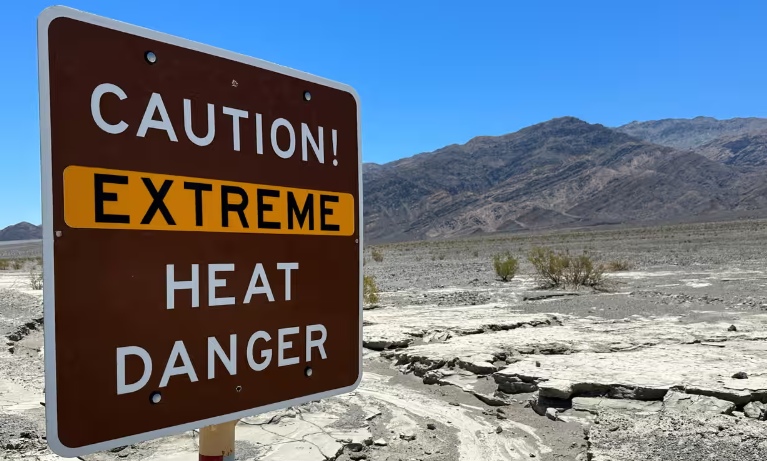
Illustration picture: Reuters.


