As early June 2025 unfolds, the northeastern United States is experiencing a significant transition from a cool, damp spring to a period of intense summer-like warmth. This shift brings not only higher temperatures but also the potential for severe weather events.
A Surge in Temperatures
After enduring unseasonably cool conditions, with early-week lows dipping into the 30s and 40s Fahrenheit, residents from New York City to Washington, D.C., are now facing a rapid warm-up. Daytime highs are projected to soar into the 80s, with some areas potentially reaching the 90s by Thursday. This marks the most significant heat experienced since the previous September.
The combination of rising temperatures and increased humidity will amplify the discomfort. Real Feel Temperature, which accounts for humidity, sunshine, and other factors, may register 10 to 15 degrees higher than actual air temperatures. Such conditions necessitate caution, especially for those engaging in outdoor activities or strenuous labor during peak heat hours.
Impending Severe Weather
Coinciding with this heatwave, a frontal system advancing from the west is expected to trigger severe thunderstorms. By Thursday afternoon and evening, areas from northern Pennsylvania to Maine could experience storms capable of producing high wind gusts, hail, and torrential downpours. These conditions pose risks of flash flooding and travel disruptions, particularly during the evening commute.
A Brief Respite
Following the passage of these frontal systems, a temporary cooling trend is expected. Temperatures across New England and the central Appalachians may drop by 10 to 15 degrees, offering a brief respite from the heat. However, the mid-Atlantic region will continue to experience elevated temperatures and humidity levels into the weekend.
Additional Atmospheric Factors
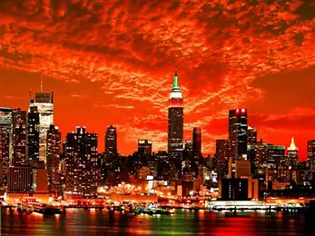
Adding to the atmospheric complexity, smoke from wildfires in central Canada is drifting into the Northeast. This smoke can create hazy skies and vibrant sunrises and sunsets, and in some instances, impart a campfire-like aroma at ground level. While not directly hazardous, this phenomenon contributes to the overall weather experience during this period.
Illustration picture: https://tours.goanderson.com/Tour/New-York-City-Express


