Hurricane Hanna was overturning trucks, flooding cities and causing damages

Hurricane Hanna hit Texas, where caused during the weekend lot of damages. Estimated wind gusts in center of hurricane, 1st category were 100 mph / 161 km/h and sustained winds 35 mph / 55 km/h. In southern edge of Texas, dropped 5 – 10´´ (125 – 250 mm), regionally around 15 ´´ (375 mm) of rain.
Hurricane had been strongest till didn´t arrived over land – the category 1 storm made landfall on Padre Island at 5 p.m., Saturday. As of 10 a.m., Sunday, KSAT 12 meteorologists reported that the storm has weakened to a tropical storm. During Monday, system will be shifting over Mexico o to west, where is expected mainly heavy rain, with possible local flooding /https://www.ksat.com/news/local/2020/07/26/this-is-what-the-aftermath-of-hurricane-hanna-looks-like-on-sunday//.
On Saturday afternoon, an offshore weather station at Rincon Del San Jose reported a wind gust to 103 mph / 166 km/h, while Port Mansfield measured an 87 mph gust. Water levels reaching about three feet above normal in Matagorda Bay and 3.8 feet (1,2 m) higher than usual in Port Lavaca. Rainfall amounts have been extreme, with radar estimating in excess of 15 – 20 inches in area between Brownsville and Port Mansfield. Numerous flash flood warnings were in effect through Sunday afternoon as torrential rain bands pivoted through the region /https://www.washingtonpost.com/weather/2020/07/26/hanna-south-texas//.
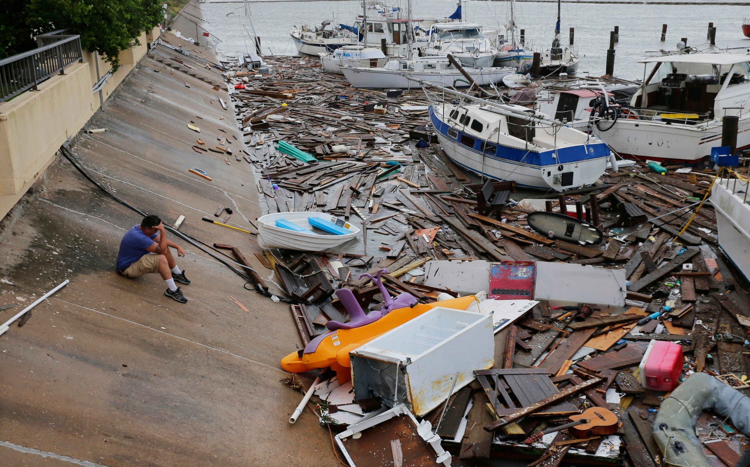
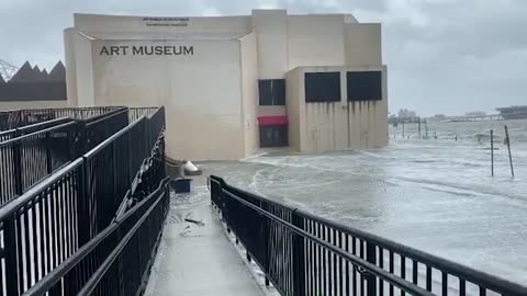
System caused lot of damages mainly on the coast, but too in areas far away from the coast. Severe wind gusts was overturning trucks and causing lot of damages on property. Coastal areas was slightly flooded in many cities, few bigger cities reported “widespread flash flooding”.
There is a videodocumentation of huricanne Hanna from 25.-26. July 2020:
:strip_exif(true):strip_icc(true):no_upscale(true):quality(65)/cloudfront-us-east-1.images.arcpublishing.com/gmg/PBPGCNKADBEYVG37LXKSPFE4MY.jpg)


:strip_exif(true):strip_icc(true):no_upscale(true):quality(65)/cloudfront-us-east-1.images.arcpublishing.com/gmg/VG6YTRGV6RDHDLUJ6D7HWPWVYI.jpg)
Photodocumentation sources: https://abc13.com; https://www.washingtonpost.com; https://www.ksat.com; https://www.click2houston.com; https://www.independent.co.uk/; https://www.reuters.com; https://weather.com
At the end – for stormchasers, the next tropical depression and next potential hurricane is evolving near Cape Verde /washingtopost.com


