Sudden Coldwave Grips Western U.S. after Heat — Record Lows, Snow and Chill / San Francisco Bay Area: Mid-June Marked its Coldest Stretch since 1982, Lake Tahoe with Snow
A dramatic shift has swept over the Western United States: following early June’s punishing heat, a sharp cold front has plunged daytime and nighttime temperatures 15–30°F below normal, even delivering snow and frost in June
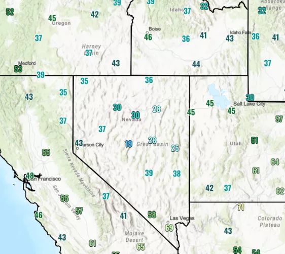
🌡️ Record-low highs & Freezing mornings
- San Francisco Bay Area: mid-June marked its coldest stretch since 1982, with highs struggling to surpass the mid‑60s°F due to a persistent marine layer
- Boise, ID climbed no higher than 59°F, ~25°F below typical daytime highs.
- Salt Lake City, UT saw overnight temps dip into the 40s°F.
- High-desert valleys in Nevada and Idaho posted 30s°F at sunrise, with Reno issuing frost warnings.
❄️ Snow in June — Mountain heights hit winter conditions
- A rare June snow event hit the Sierra Nevada, Wasatch, and Northern Rockies, with snow showers descending to 7,000–8,000 ft.
- Lake Tahoe area dropped from 57°F to 37°F in just two hours, accompanied by rain–snow mix and storm-driven winds up to 45 mph, even dusting higher elevations with snow
- Parts of Idaho were reportedly transformed into a “winter wonderland” this weekend
⚡ contrast: heat to freeze in days
This rapid temperature drop showcases extreme weather whiplash: from 120°F desert heat to snow in the mountains, within a matter of days. It’s a stark reminder of the increasing volatility in Western climate patterns .
🔜 what’s next?
Expect the cooldown to linger through mid-week, before a brief rebound in warmth returns. But the takeaway? These brutal shifts are becoming the new normal.
Source: https://x.com/extremetemps/status/1936914772076662887


