The First Tropical Storm in Atlantic Hurricane Season Very Probably Here: Andrea
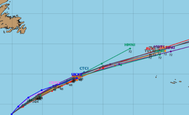
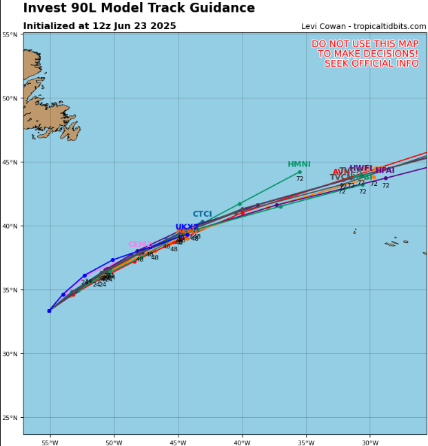
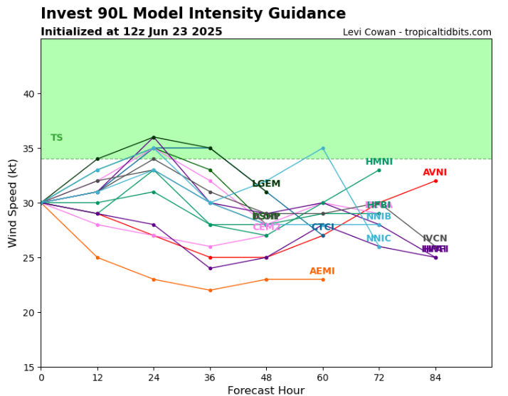
A tropical disturbance—designated Invest 90L by the National Hurricane Center (NHC)—is brewing in the central subtropical Atlantic, roughly 500–600 miles east of Bermuda. Satellite imagery shows disorganized showers and thunderstorms around a low-pressure center, and forecasters say there’s a high (~70%) chance it will intensify into a tropical depression or even Tropical Storm Andrea in the next 48 hours.
🌀 What we know
- Location: Central Atlantic, far from land
- Current state: Weak low with better-organized convection and surface circulation
- Chances of development:
- ~70% in 48 hours, according to NHC
- Expected to become a short-lived depression or storm, before reaching cooler waters and stronger wind shear
⚠️ Impacts & Significance
- No threat to land — this will stay out at sea, moving northeast over open ocean
- Would become the first named storm of 2025, taking the name Andrea, and forming right around the climatological average date (June 20) for first storm formation
- An early-season formation in a remote area reflects longer seasons and warming ocean trends; while not unusual, it underscores shifting patterns in Atlantic hurricane behavior
🌊 What happens next?
- Today–tomorrow: Rapid development possible; watch for formation of a tropical depression or Tropical Storm Andrea.
- Beyond ~Tuesday: Conditions will become less favorable—cooler seas, rising shear—cutting off further intensification.
- Trajectory: Will move northeast, staying well out to sea, likely dissipating before reaching windier, cooler regions.
Source: https://www.tropicaltidbits.com/storminfo/#90L
Detail.


