Washington State has recorded its coldest August since 2000, marking a significant departure from the recent warming trends in the Pacific Northwest. Across much of the state, average temperatures fell well below seasonal norms, creating a stark contrast with the record-breaking heat waves seen elsewhere in North America and the globe.
The temperature anomalies were most pronounced in inland and northern regions, where daily highs struggled to reach seasonal averages, and nighttime lows remained unusually chilly. Coastal areas, while moderated by the Pacific Ocean, also experienced persistent cool conditions, accompanied by overcast skies and occasional showers.
This cool pattern was driven by a persistent northwesterly flow and the influence of a marine air mass, which limited the penetration of warmer air from the south. In addition, frequent cloud cover and enhanced precipitation reduced solar heating, reinforcing the below-average temperatures throughout the month.
Climatologically, August 2025 now ranks as one of the coldest Augusts in over two decades, rivaling the cool conditions observed in the early 2000s, but occurring at a time when late-summer warmth would normally dominate the region. The anomaly underscores the regional variability of climate patterns, where localized cold spells can occur even amid broader global warming trends.
In summary, Washington’s August 2025 stands out as the coldest since 2000, with widespread below-average temperatures, frequent cloudiness, and cooler-than-normal conditions across the state. Residents experienced a noticeably chillier late summer, emphasizing the dynamic nature of weather extremes in the Pacific Northwest.

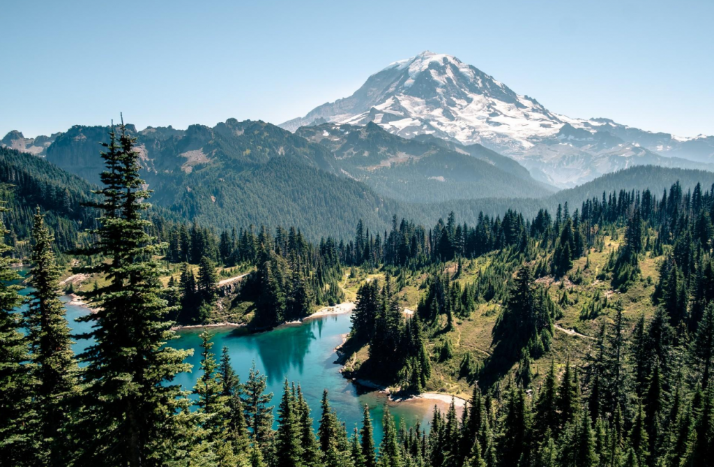
Illustration picture: https://www.sunheron.com/static/e60f96c6cd3a9ccf95a995d501e82509/5267c/mount-rainier-national-park-1130537468.jpg

