First serious frosts: Bamberg, Germany -5,2°C, Kocelovice, Czechia -5,1°C, Wiener Neustadt, Austria, -4,1°C, Benson, UK -3,6°C, Zakopane, Poland -3,0°C
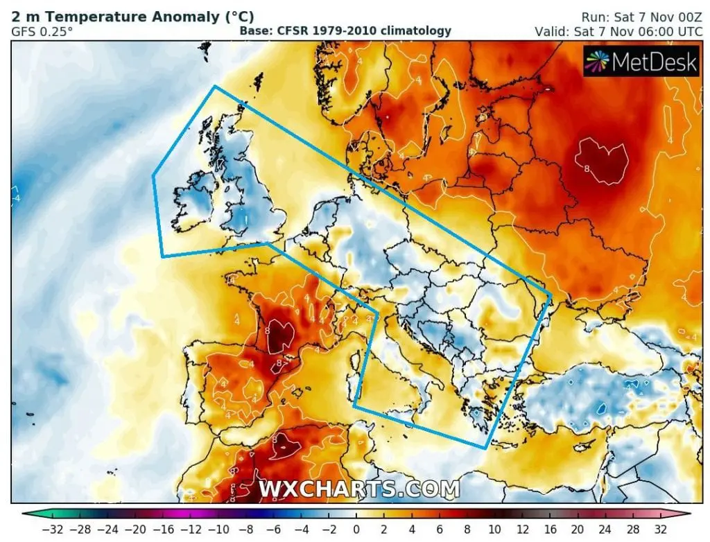
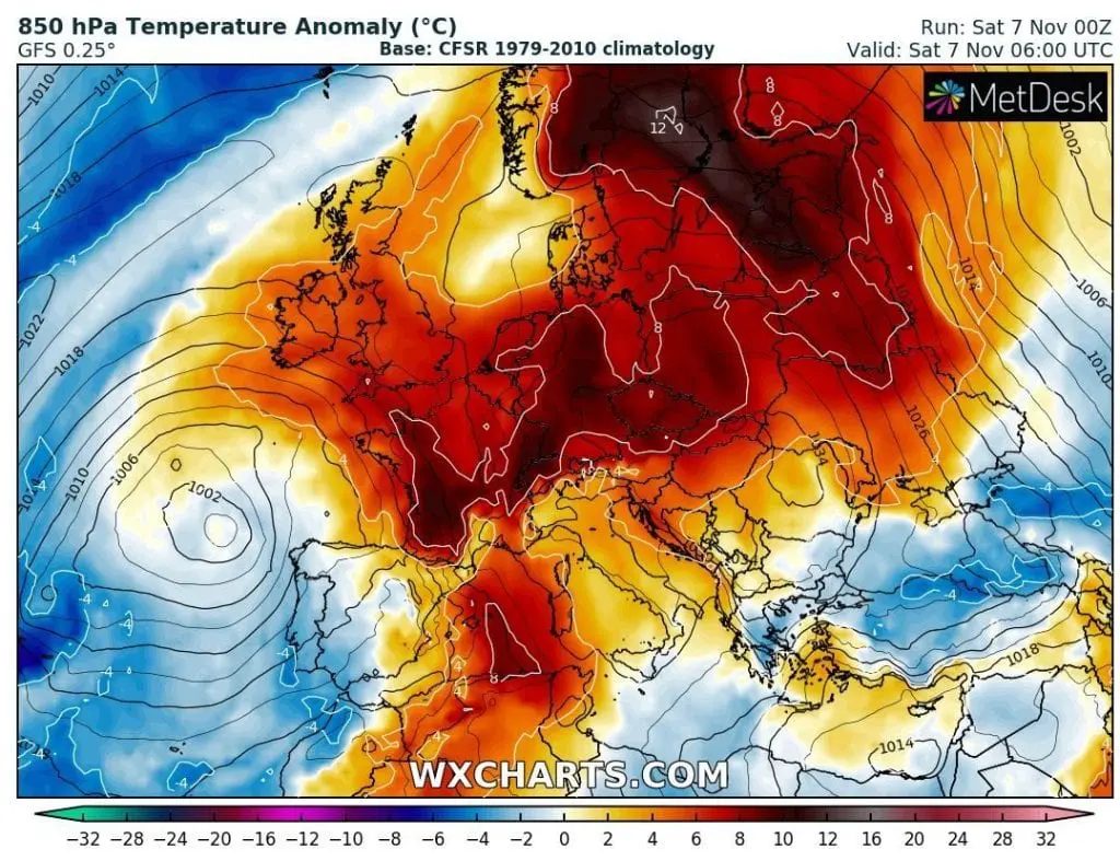
While in 850 hPa was located above Central Europe very warm air, +10°C above long-term temperature average, temperature anomalies in 2 meters was on Friday and Saturday morning above belt from British Isles to Balkan Peninsula negative, with first more serious frosts in Central-European lowlands, under -5°C.
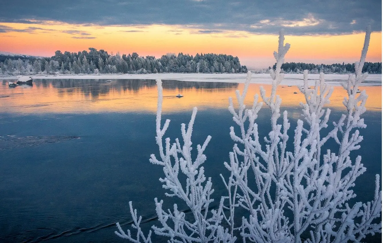
Frosts like this should be devastating for flowers or remnants of harvest, but – dry and cold weather is very unfavorable for spreading of COVID-19, too.
On Friday, in Carpathian basins in Slovakia, -6,0°C has been measured (Oravská Lesná).
Very interesting were however temperatures measured in more western regions, in Germany, Czechia or Austria, on Friday and Saturday, 6.-7. November 2020: Bamberg in Germany (lowland) reported on Saturday only -5,2°C, Kocelovice in Czechia on Friday -5,1°C or Wiener Neustadt near Vienna (lowland) only -4,1°C.
Low weather has been reported on Friday from UK – Benson, -3,6°C, France – Charleville, -3,5°C or Poland – Zakopane, -3,0°C, too.
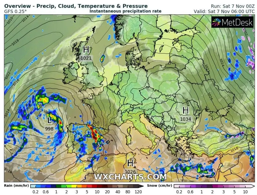
In contrary, suothern Scandinavia has reported unseasonably warm and windy weather, Kalmar in Sweden reported +17,4°C or Drammen Berskog in Norway +17,1°C on Friday. In Andoya Trolltinden meteorologists measured wind gusts 148 km/h, in Stekenjokk, Sweden 130 km/h and in Kittila, Finland, 112 km/h.
In Mediterranean, still continues regionally warm summer weather with summer days (up to +28,6°C, Almeria, Andalusia, Spain), but with heavy rains in parts of Spain, Portugal, Greece or Turkey.
Warm weather in continental Europe should stay minimally until 12. November. Notified extreme coldwave should hit mainly southeastern and eastern Europe, with milder impact in central Europe, but some runs of meteorological models are still very aggressive for the whole territory of Europe – forecast will be updated, when forecasts will stabilize.

Infographics: meteologix.com, wxcharts.com: