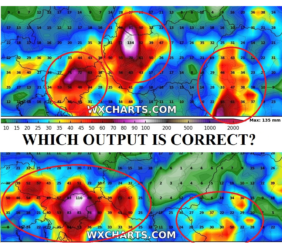

Italy, Austria, Hungary, Slovenia and Croatia with high-flood level risk next 24 hours, Slovakian participation on severe event is questionable
Very similarly than the US, Central Europe will become the center of extreme weather in Europe for the next 2 weeks. 2 latest articles /1: https://mkweather.com/2020/07/22/t-storms-in-friday-and-saturday-in-au-hu-sk-si-hr-will-be-extremely-strong-in-sunday-will-start-big-heatwaves-ovhttps://mkweather.com/2020/07/22/t-storms-in-friday-and-saturday-in-au-hu-sk-si-hr-will-be-extremely-strong-in-sunday-will-start-big-heatwaves-over-central-europe-northern-parts-including/er-central-europe-northern-parts-including/; 2: https://mkweather.com/2020/07/21/alpine-and-carpathian-region-at-large-scale-flood-risk-in-friday-and-saturday-over-100-mm-24-hours-of-precipitation-can-fall-regionally// described expected over-100 mm precipitation storm event, which will come during next 24 hours in parts of Italy, Austria, Hungary, Slovenia and Croatia, while participation of Slovakia on this European derecho is questionable for now, because meteorological models are expecting in Thursday the line of the most severe storms more southerly than in Wednesday.
Last 4 runs of outputs from Thursday expect precipitation amounts up to 110 mm over Slovenia/Austria (12Z), 76 mm over Slovenia (06Z), 134 mm over Hungary/Slovakia (00Z) and 117 mm over Austria/Slovenia and 112 mm over Slovakia/Hungary (18Z – Wednesday) during next 72 hours. These precipitation will fall in Friday or at the night from Friday to Saturday in region, respectively.

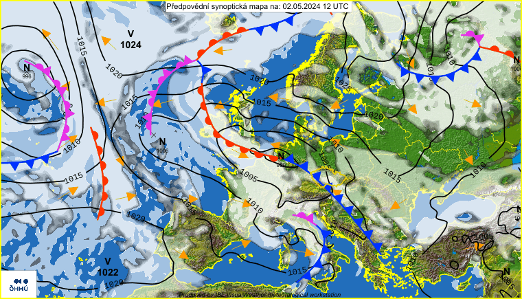
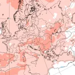
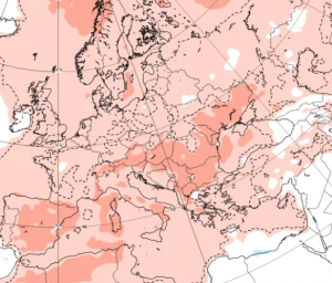
3 peaks of heatwaves are possible in Central Europe during next 16 days, with maximum temperatures up to +38/+37/+39°C in northern regions, on the cold fronts heavy storms mainly in western parts of Europe
While western Europe will be more affected by massive cold fronts during the next 2 weeks, with possible severe storms with heavy rain, lighting, hail and wind gusts, in front of the cold front, in Central Europe, will be regenerating advection of tropical air, with Saharan origin, during next 2 weeks.
Current heatwave in Europe is slowly weakening, with Thursday´s maximum temperatures in Montenegro, Greece and Albania up to +36,6/+37,1°C. In the Verona, northern Italy felt in Thursday 108 mm of precipitation with flash floods and 3.level of warnings for NE Italy. In Austria, 90 km/h wind was measured near T-storms during last 24 hours in mountain regions and 72 km/h in Innsbruck.
Back to the upcoming heat events – first serious hot-air advection had to be peaked on Wednesday/Thursday, 29.-30. July above northern parts central Europe with maximum temperature in 850hPa +21°C over southern Slovakia. Hot air will quickly return after short invasion of crumbling cold front on Saturday, 1. August and finally, air with +22°C in 850 hPa over Austria and Czechian and Slovakia borders could arrive around 7. August 2020 according to GFS. These days will have potential to reach +38/+37/+39°C in northern regions of Central Europe (SK, CZ, AU, Bavaria).
Between these possible peaks of heatwaves, cold front fronts western Europe will have cooling effects in the region, with possible severe storms not only in France, or Germany, but eastern parts Europe, too. It appears, that summer 2020 orchestrate for the Europe a lot of surprises, yet.
Used pictures: https://katv.com

