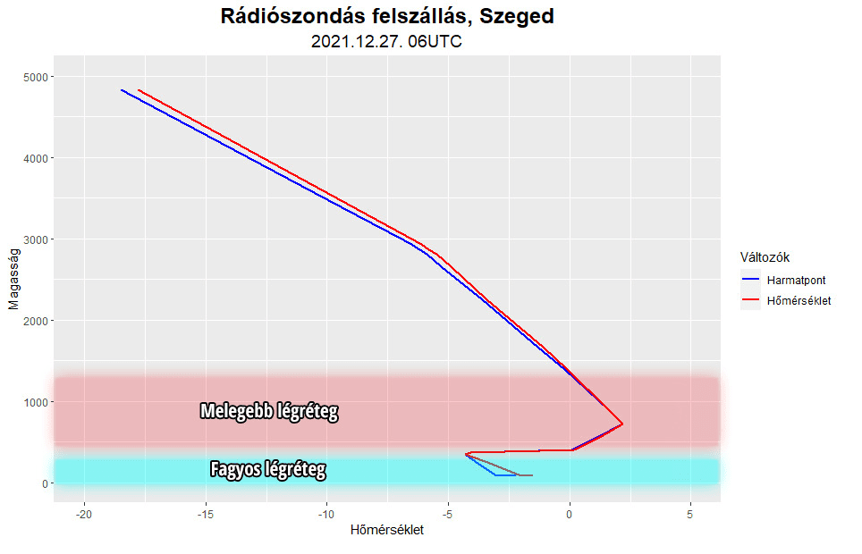
Around 27. December 2021, in lower elevations in Hungary (lowlands), still very cold air was observed, while in 850 hPa and other upper levels of the troposphere, very warm air shifted above Hungary, with a result of a dangerous cover of ice rain, mainly in southeastern parts of the country, on the border with Romania and Serbia.
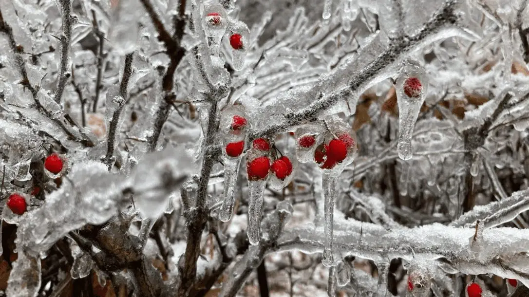
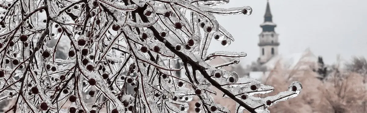
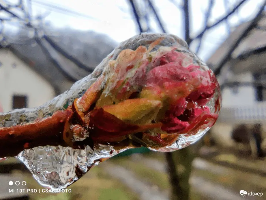
Radiosounding (below) showed a big difference between mentioned air masses and the region was covered by deep ice accumulations, more than 1 cm (photos and video below).
These situations are traditionally associated with many car accidents and broken bones of people, trying to walk longer distances in this terrain.
Before the ice rain, the 3rd level of warnings was around 27. December 2021 valid.
Under the weight of the thick ice armor, trees fell, branches were broken, and the electricity supply was cut off. Firefighters were also alerted in hundreds of cases, especially in Chongrad-Csanád County according to idokep.hu. /https://www.idokep.hu/hirek/a-del-alfoldi-onos-eso-meteorologiai-hattere; https://www.idokep.hu/hirek/ma-sem-usszuk-meg-onos-eso-nelkul; https://www.idokep.hu/hirek/a-del-alfoldi-onos-eso-meteorologiai-hattere/.
Similar events are often in Northwestern Balkan, near Siberian / Arctic high near the ground, but coming warming up from the southwest in higher layers of the troposphere.
Sylvester 2021 will be finally in Hungary very warm, with temperatures up of to +15°C /https://www.idokep.hu/hirek/15-fok-jon-szilveszterre/, but the next peak of Winter 2021/2022 in continental Europe is possible already around 7. January 2022 /will be updated soon on Mkweather/.