Ex-hurricane Elsa really shifted directly above New York, with enormous amounts of rainfall and floods.
Before the arrival of the system we have warned in series of articles in the last days /https://mkweather.com/remnants-of-hurricane-elsa-are-moving-towards-new-york-and-greenland-east-coast-expect-floods-and-severe-winds/; https://mkweather.com/hurricane-watch-in-florida-elsa-comes-already-in-the-next-hours-then-hits-all-east-coast/; https://mkweather.com/hurricane-elsa-hits-florida-then-should-aim-towards-washington-d-c-june-2021-elsa//
Elsa brought firstly rainfall up to 10.88 inches / 276 mm and EF1 tornado in Florida (Port Charlotte and Jacksonville), then 8.2 inches / 208 mm and EF2 tornado in Georgia (Skidaway Island, Naval Submarine Base Kings Bay) and finally 5.68 inches / 144 mm in New York City region, where occurred one of the top 10 wettest hourly cloud downpours in the past 80 years. Floods in Maryland, Connecticut, and New Jersey were reported on Friday, 9. July 2021, too.
In New York City, many stations of the underground and some parts of the city were heavily flooded.
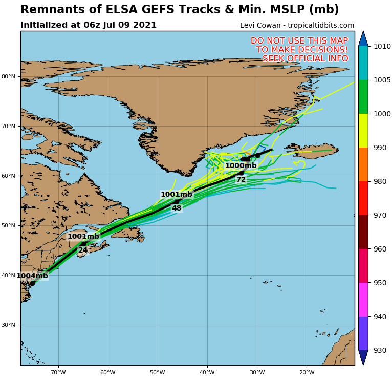
The system is currently shifting above easternmost Canada and then its remnants aim towards Iceland, when should as an extra-tropical storm bring the next heavy rainfall.
The hurricane Elsa was the earliest 5th named tropical storm in all-time Atlantic history and season 2021 should be surprisingly even stronger than was expected, together with seasons 2005 and 2020 in the TOP3 strongest hurricane seasons ever.
Mkweather will watch the situation over Northern Atlantic in the next weeks, too and in case of the next tropical threat, we will bring fresh news on our homepage.