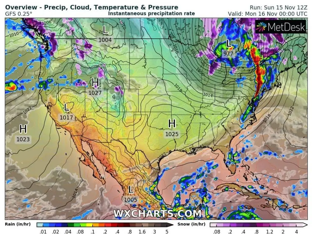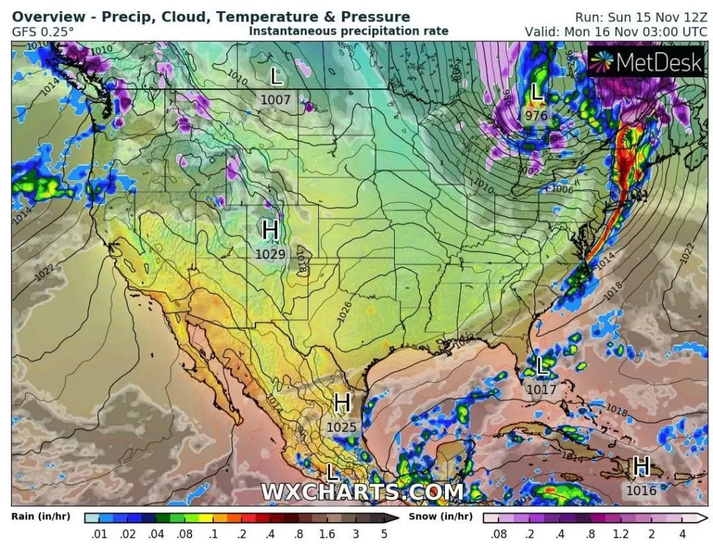
Above Great Lakes region and neighboring region of southeastern Canada with Northeast (USA) is moving robust cyclonic system with snowing and severe winds.
While blizzard conditions hit mainly Canadian parts and border areas, in Northeast is during the night from Sunday to Monday 15.-16. November expected extremely strong wind with possible snow showers.
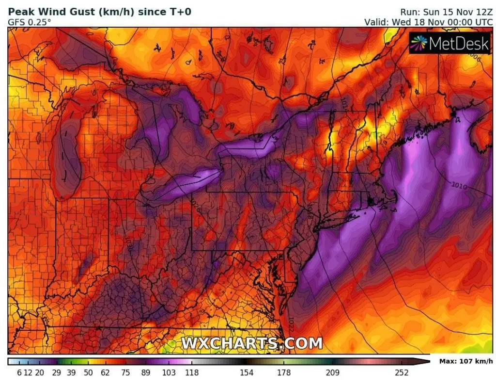
Wind gusts according to GFS model should reach 107 km/h, but it need add some speed units, therefore GFS model outputs are very often underrated.
Mkweather estimates, that across Northeast and parts of Midwest, Great Lakes area and southeastern Canada should shifting cold front with wind gusts up to 120 km/h, maybe more during next 24 hours.
The strongest winds should hit coastal areas including metropolis cities such as New York or Boston.
Severe wind gusts are expected too in densely populated regions in Canada, mainly near Great Lakes area, e.g. Toronto.
Wind gusts such this should be linked with problems in traffic or power outages (falling trees).
If you live in mentioned region, watch current meteorological warnings and be careful on Monday morning and during a day in coastal regions.
Infographics: wxcharts.com