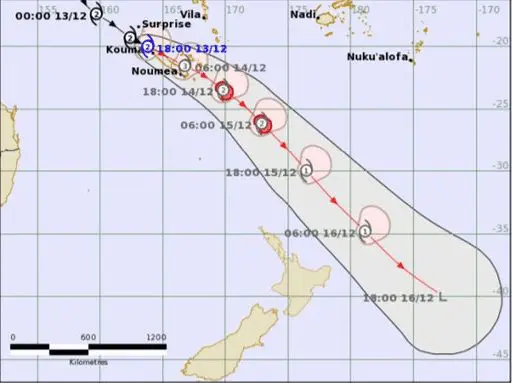
All last week was shifting above waters of southwestern Pacific a tropical system, which was developed to Tropical Cyclone Ruby.
It was predicted by BoM already on 6. December 2021, and the system was fully organized into a tropical low on 10. December.
On 11. December, Tropical Storm Ruby was formed, and until 12. December 2021 it upgraded to a Category 2 system.
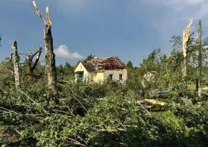
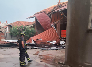
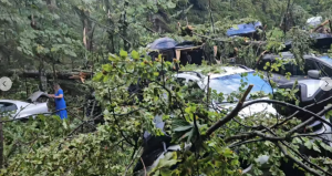
In the last days, a tropical cyclone hit in full power New Caledonia, a French territory eastward from Australia, with severe wind gusts and widespread damages.
Heavy rains and sustained winds of 180 km/h have been recorded in Noumea, the capital of New Caledonia, fortunately, without fatalities.
Heavy rains hit parts of southwestern Fiji, too.
Some footages of the arrival of the storm are available in the videos below.
Ruby such as a Tropical Cyclone category 1 and gradually a post-tropical cyclone on 15.-16. December 2021, is bringing strong gale winds to the eastern coast of New Zealand, which should receive high surf and gusty winds.
Looks like Ruby is suffering the same fate as Pamela earlier this year. An increase in mid-level shear caused decoupling of the low and mid-level circulations, while also allowing dry air to entrench itself into the circulation, according to Sausiuswx on Twitter.
Despite the weakening of the system, Northern Island, New Zealand is experiencing a significant worsening of the weather.
Raoul Island / Kremadec Island has already reported 86 mm of rainfall and Northern Island reports severe winds.
Meanwhile, the Philippines just hit Supertyphon Rai, with expected widespread damages and fatalities in the next hours /the next Mkweather article/.