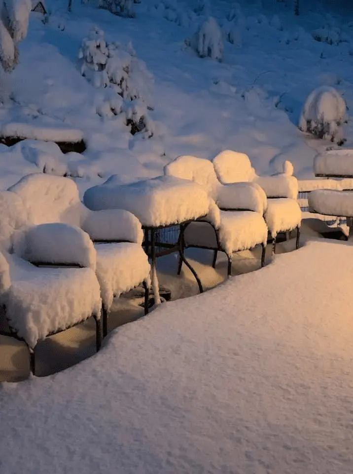
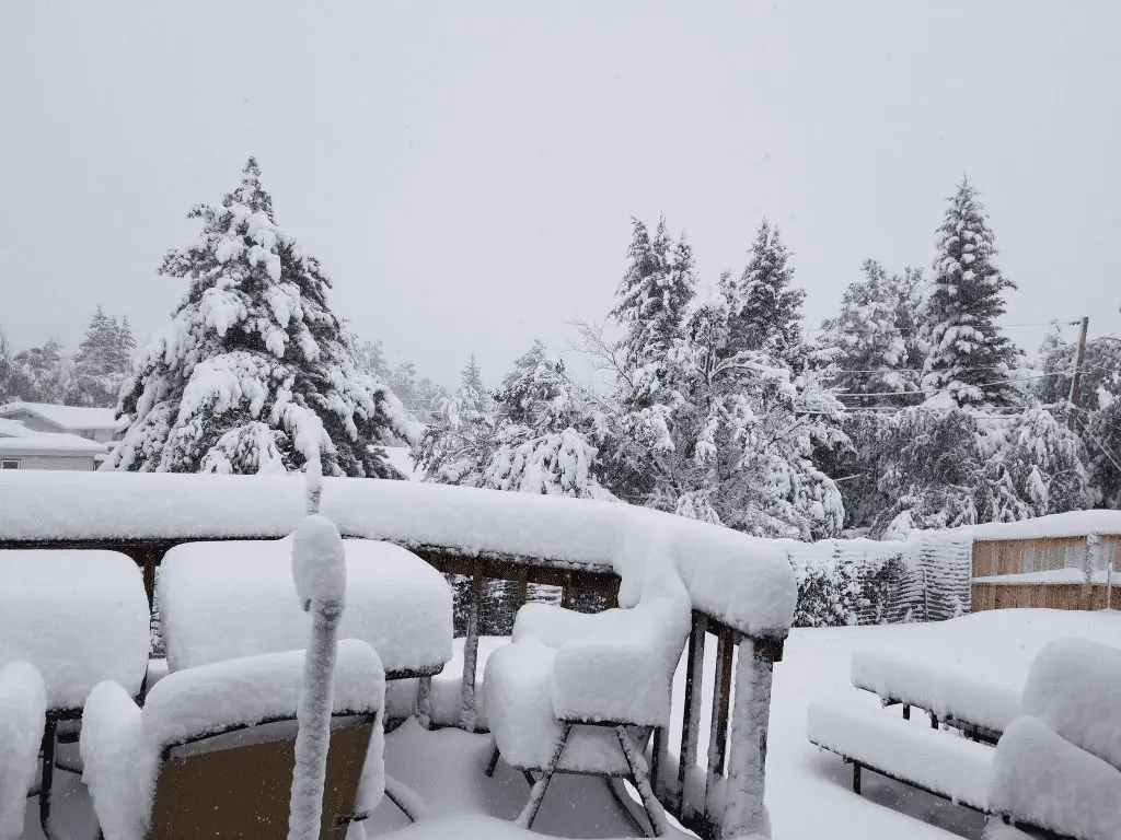
The USA has covered up to 30 cm of snow, in Casper almost ice day (all-time below 0°C/32°F)

It´s Wednesday and West-Central US is recovering from extremely early winter snowstorm – “the snowstorm in the summer”.
The last time has similar arrival of winter occuring on 19. September 2010, what was at the same time the earliest arrival of blizard to West-Central US region, till September 2020.
Early September snowstorm 7.-10. September 2010 is linked in many states with snowfall of up to 20 – 30 cm fresh of snow (0,65 – 1 feet) and temperatures below 32°F (0°C).
In Casper, Wyoming, last 24 hours, is temperature oscillating between 28,9°F – 33,1°F (-1,7°C and +0,6°C) and almost has occurred ice day with all-day frost. In Cheyenne, Wyoming capital, temperature has dropped to 27,0°F (-2,8°C), in Rapid City and Riverton to 28,0°F (-2,2°C), Glasgow and International Falls to 30,0°F (-1,1°C) and in Burns, Denver and Fargo to 30,9°F (-0,6°C) and in many places temperature is still declining!
Coronach in Saskatchewan is reporting only 16,2°F (-8,8°C), Val Marie in Saskatchewan 16,9°F (-8,4°C) and Elbow Marine Aviation 17,6°C (-8,0°C) – all stations in lower areas. In southern parts of Canada has snowed up to 20-30 cm of snow, too during last 72 hours. 185/764 (24,2%) Canadian stations in ogimet.com has reported frosts on Wednesday.
Western half of US is reporting severe wind gusts too. In Albuquerque, New Mexico, has reported wind gusts of up to 115 km/h (71,5 mph), in Pocatello, Idaho up to 100km/h (62,1 mph), in Salt Lake City up to 87 km/h (54,1 mph) or in Portland, Oregon, 80 km/h (49,7 mph).
Santa Ana winds spreads Californian wildfires, and now, record burning area over 2 millions acres is reporting from California.
In Midwest to Northeast, cold front is bringing severe storms, rain or flooding risk.
Photo and video gallery – parts of US are reporting after early September snowstorm up to 30 cm (1 feet) of fresh snow: