Swimmers and surfers ignore ex-Tropical Cyclone Seth’s dangers and have fun from rough seas, New Zealand on the front side of the system +34,2°C
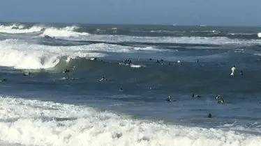
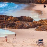
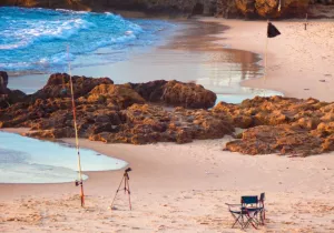
Swimmers and surfers have been ignoring the advice of officials and entering into waters off the south-east Queensland coast during rough seas, which has brought an ex-Tropical Cyclone Seth.
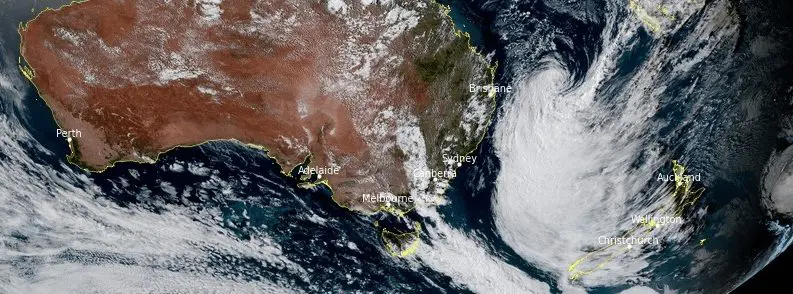
On Friday, Seth formed off the coast of Mackay as a Category 2 cyclone, then was shifting southward and again downgraded to a sub-tropical low.
10-meter high waves above seas were generated, with really dangerous seas along the coast of southeastern Queensland.
The most hit coastal regions are located from Hervey Bay down to Coolangatta, swimmers, and surfers made however from high sea waves fun and were using it for surfing or swimming.
Ex-cyclone Seth is moving to the northwest, now, with some impact in Queensland, Australia, and New Zealand.
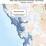
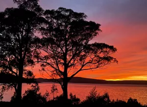
Strong manifestations of the severe storm were observed within temperatures in New Zealand, where on the front side of the system, the hottest day of the year, with +34,2°C in Alexandra, was measured.
Remnants of the system are moving towards Queensland, where around 5. January 2022, a center of storm should move quite close to the coast.
Winds along Gold Coast have already reached more than 100 km/h and although severe floods aren´t expected, winds and rough seas should significantly worsen weather comfort in the wider Brisbane region.
Seth is the 4th named storm of regional cyclone season and thanks to La Nina, stormy Summer 2021/2022 in Australia, and parts of Oceania is expected /https://mkweather.com/summer-2021-2022-forecast-for-australia-and-oceania-stormy-colder-la-nina-pattern-above-the-continent//.
If you live in Queensland, try to follow official warnings and not swim and surf in rough waters.
Source: tifnews.com, Sydney Morning Herald
Source: watchers.news