Storm forecast for Europe for the 1st half of July 2021: Severe storms in wider Alpine region already on Sunday, then storm round in Central Europe between 8.-14. July
In the last articles, we have informed about current extreme storm events in Europe /https://mkweather.com/devastating-storms-hit-germany-in-czechia-fell-761-mm-of-rain-only-in-an-hour/; https://mkweather.com/15-cm-hailstorm-in-poland-the-largest-documented-hail-in-polish-history-2021/; https://mkweather.com/plombieres-les-bai-france-60-cm-accmulations-of-hail/; https://mkweather.com/the-next-damaging-tornado-in-belgium//.
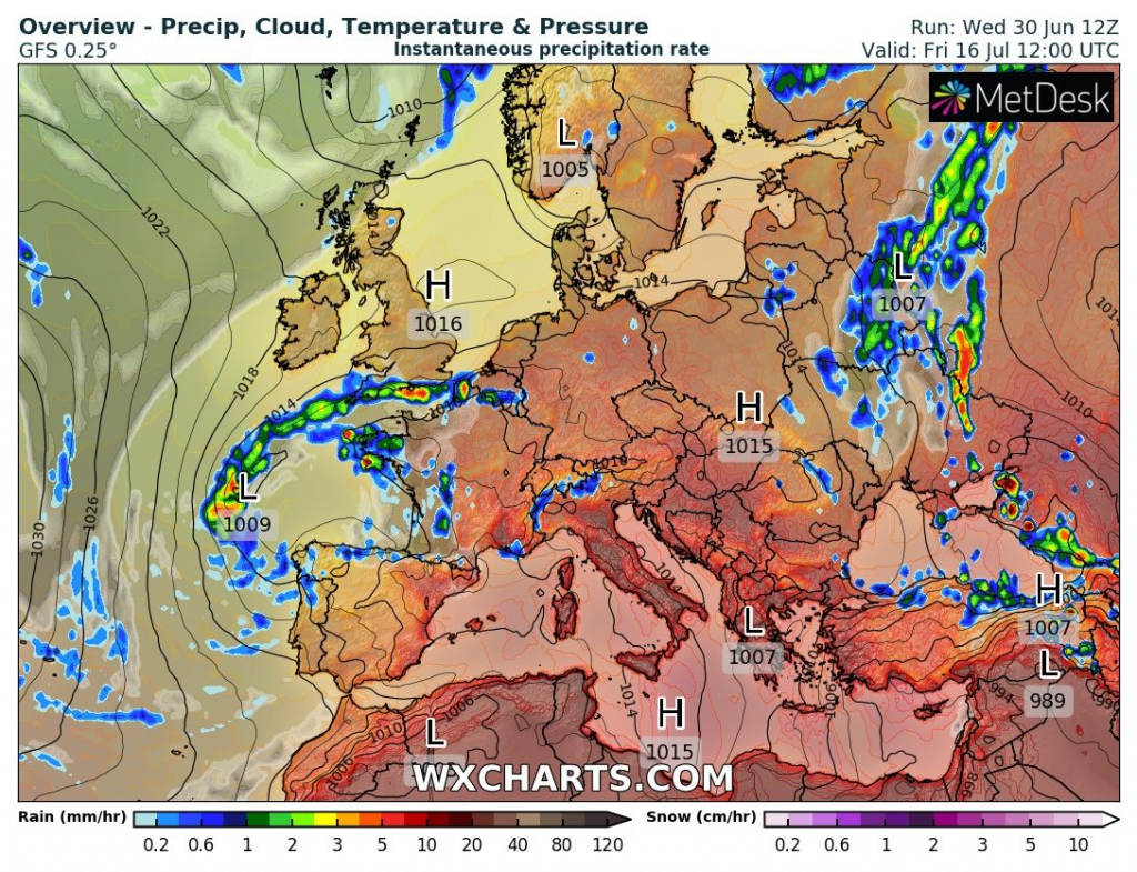
Now we should look at storm forecast for Europe until 16. July 2021 (half of the hottest summer month).
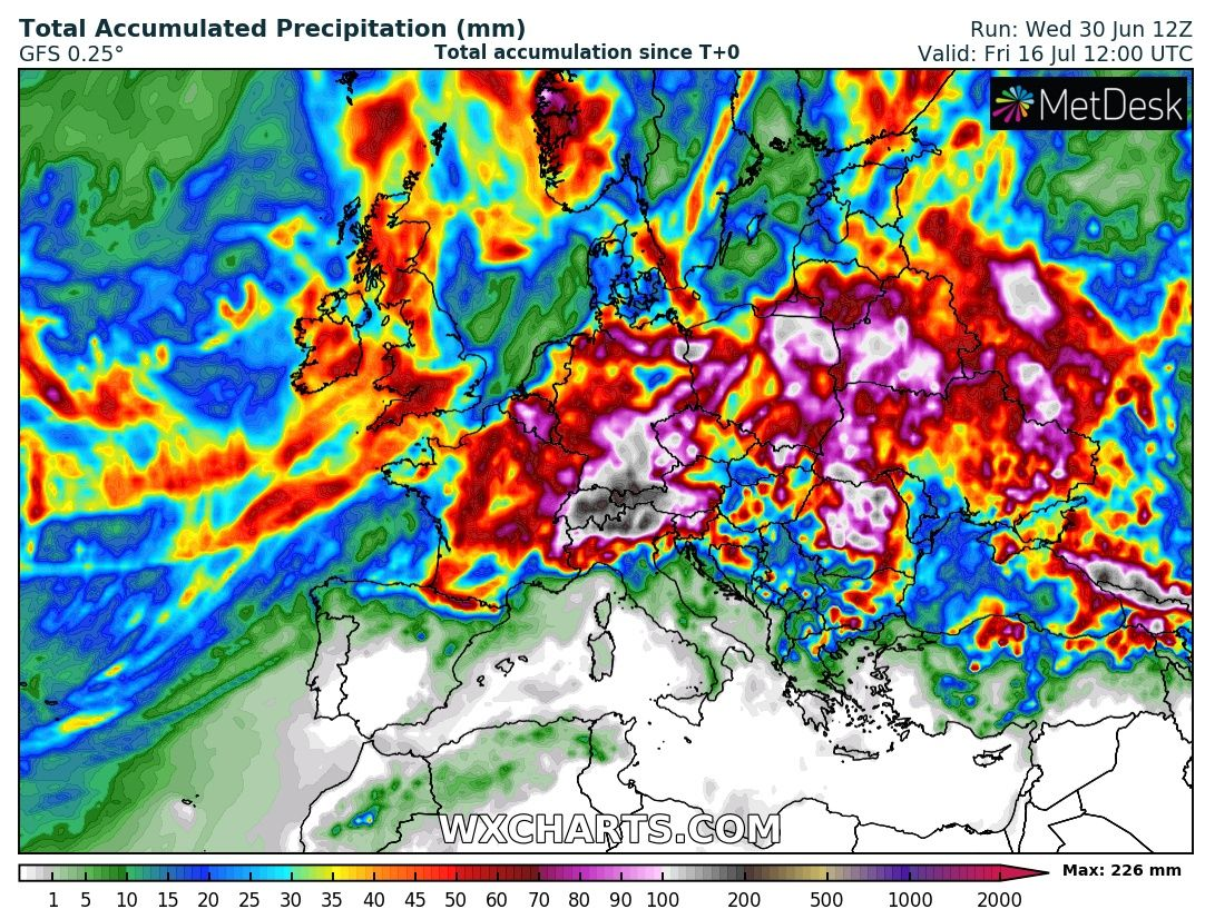
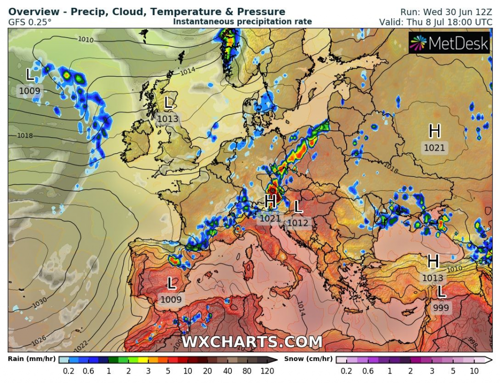
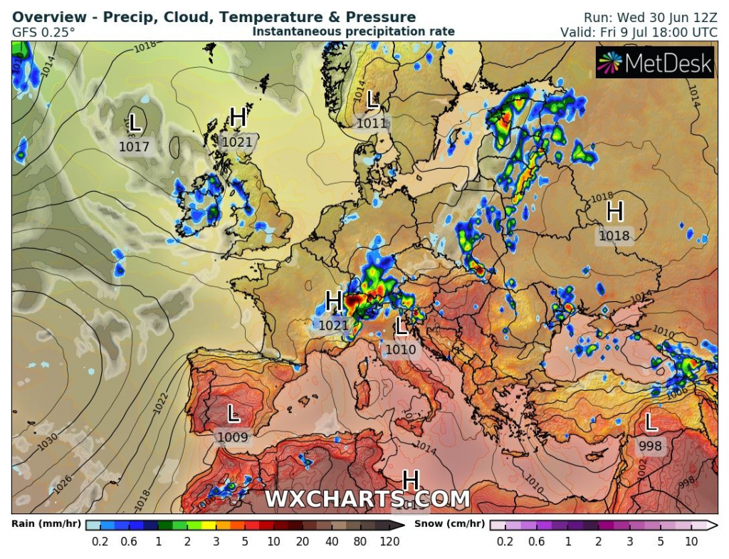
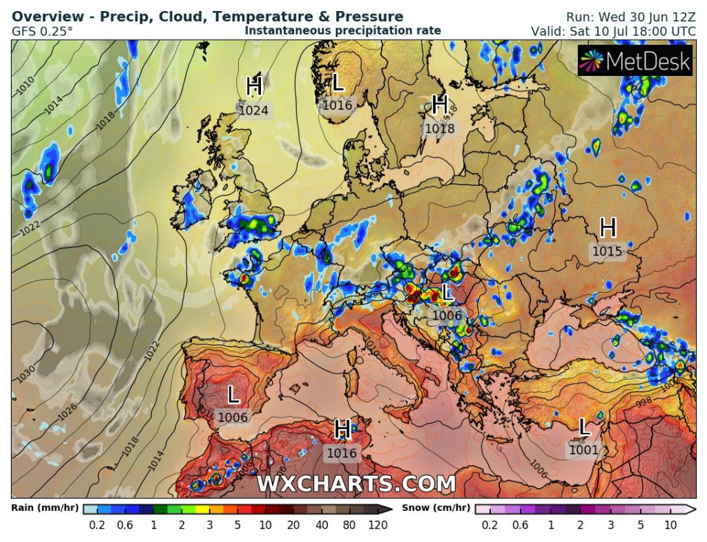
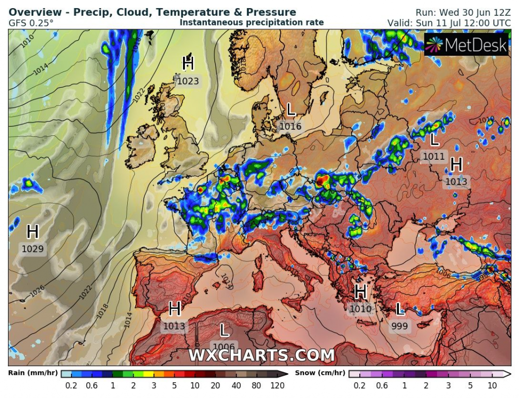
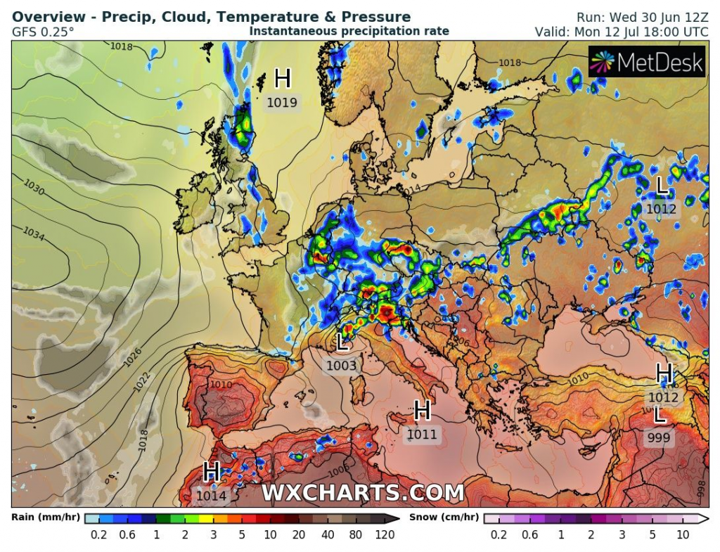
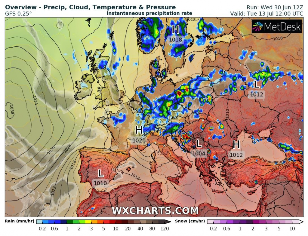
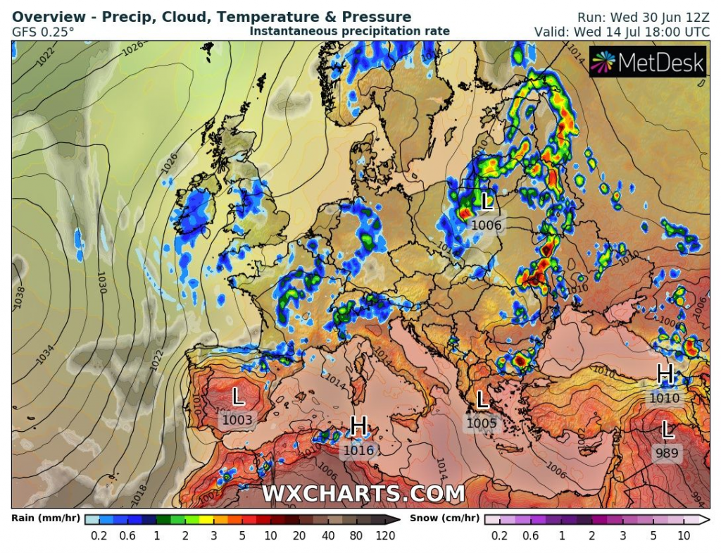
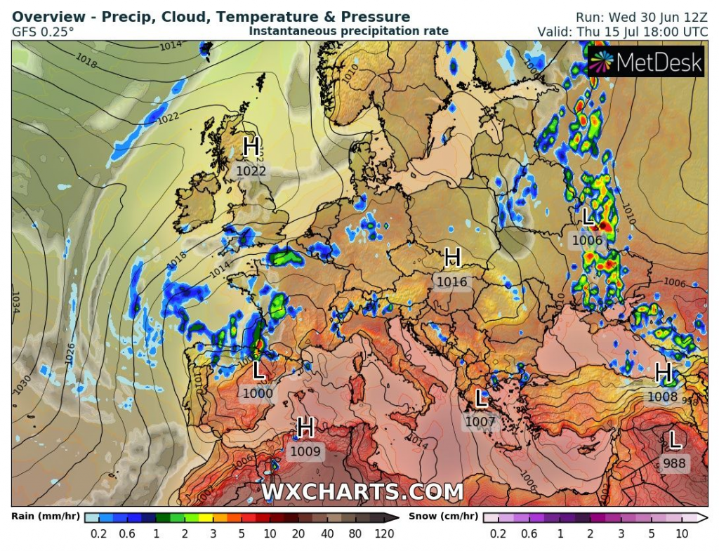
Very high, although regional high amounts of precipitation are according to Total Accumulated Precipitation forecast tool forecasted for many parts of continental Europe from eastern France to western Russia.
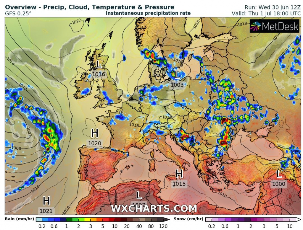
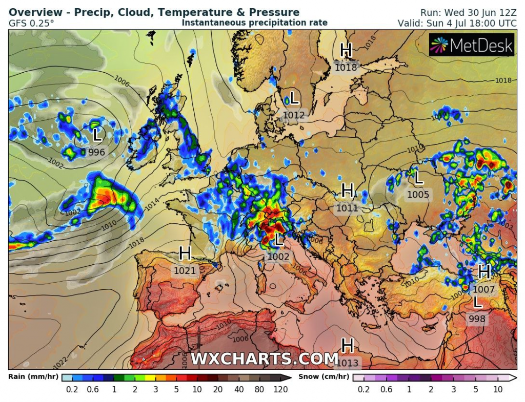
After the current severe storm round, the next one is forecasted for the Alpine region already around Sunday, 4. July 2021.
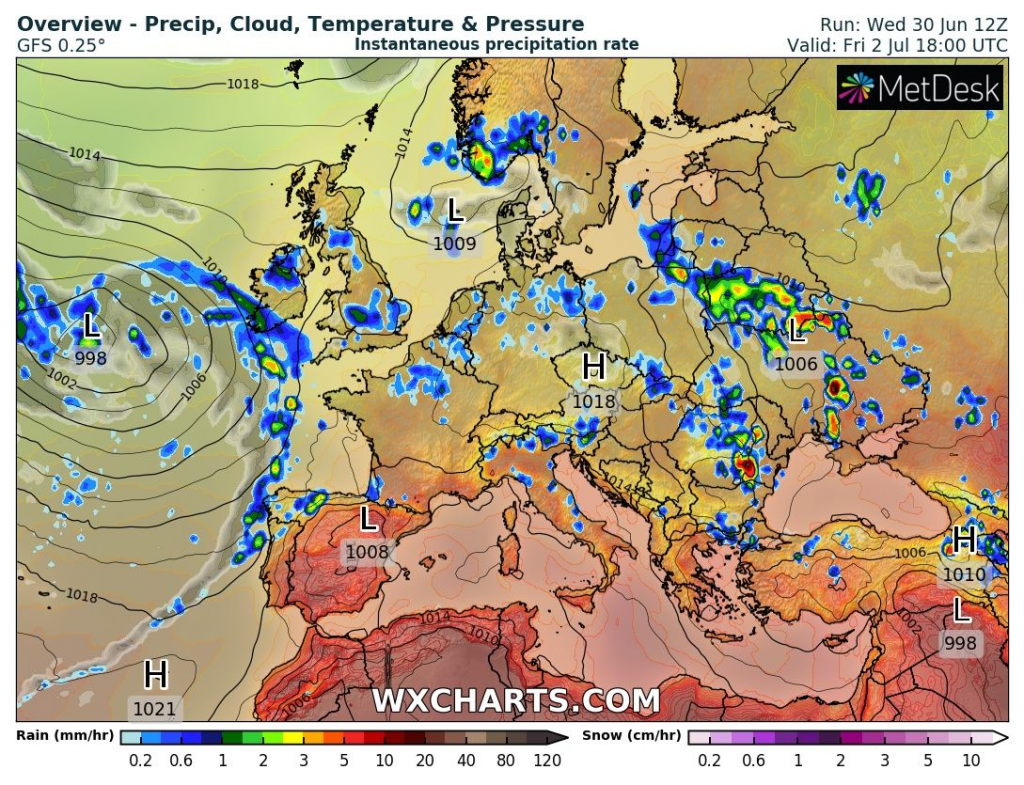
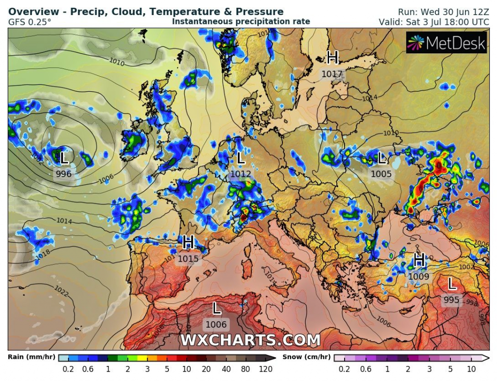
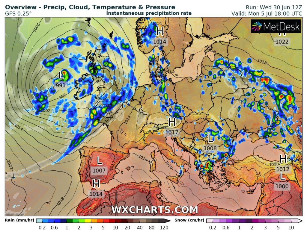
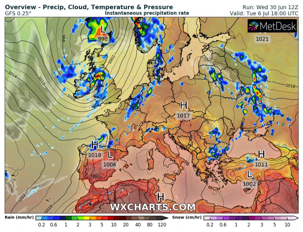
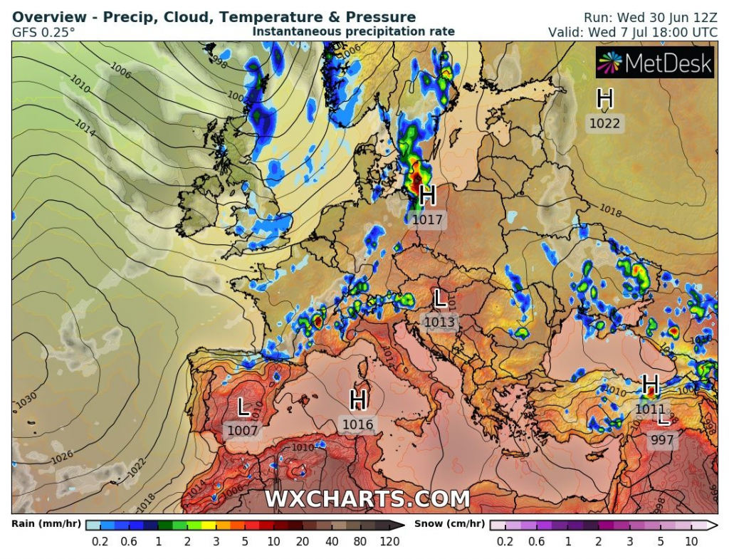
Then, severe storms across all Central Europe will appear (or are forecasted to appear) between 8.-14. July – after the next European anomalous heatwave /https://mkweather.com/the-3rd-summer-2021-heatwave-hits-europe-between-6-14-july-temperature-records-again-but-cold-british-islands-june-july-2021//.
The most dangerous storms should be mainly in eastern France, Belgium, southern Germany, Switzerland, western Austria, northern Italy, Poland, western Czechia, northern Slovakia, Romania, Ukraine, Belarus, Lithuania, and western European Russia, according to current forecasts from 30. June 2021.
Local flash floods however should appear in British Islands, Scandinavia, the Baltic region, Pyrenees, Caucasus, and some Balkan countries, too.
In the Mediterranean, persisting drought with maybe historic heatwaves and wildfires are forecasted. Dry should be in eastern parts of European Russia and Central Asia, too, with the possibility of extreme heatwaves and wildfires, similar such as in 2010.
Mkweather will watch the situation and will be bringing fresh news, continuously.

Source: wxcharts.com


