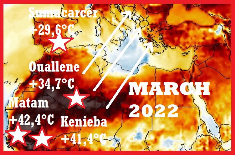
Only before a few days, we informed about temperature records from Europe, including very hot winter +28,9°C in Xátiva, Spain /https://mkweather.com/tropical-30c-in-winter-spain-reported-289c-in-xativa-an-official-record-and-296c-in-sumacarcer-an-unofficial-record// and unofficial +29,6°C in Sumacarcer.
Very warm weather in the last weeks hit in the few peaks other parts of Europe, too, but now, we should shift into NW Africa, where will have origin the next extremely hot air advections above Europe.
On 22. February, extremely hot +34,7°C was reported from Ouallene, southern Algeria.
This air will be in the next days gradually shifting above SW Europe, with a possibility of the next temperature records.
Only on 22. February 2022, southern Spain reports the next summer day, with up to +26,7°C in Moron de la Frontera, +26,5°C in Jerez de la Frontera, +26,4°C in Ecija, or +26,3°C in Huelva.
In Mali, extremely hot temperatures up to +41,5°C in Kenieba, in Senegal up to +42,4°C in Matam appeared, which means, that the summer season above Sahara is slowly coming, with premature heatwaves in the region already in February.
A forming of extremely hot air masses above western Sahel and western Sahara should mean, those surprising March heatwaves should hit Europe in the following month, although, the next warm spell should be in continental Europe milder, yet and for the peaking of early-spring conditions we should be waiting until the second or third March 2022 decade /https://mkweather.com/hot-and-dry-march-cold-and-stormy-april-and-may-long-term-forecast-for-europe-sees-a-return-of-cold-and-weather-patterns/; https://mkweather.com/nao-leading-pattern-minimally-until-1-april-2022/; https://mkweather.com/ecmwf-6-week-forecast-for-europe-until-4-april-2022-extremely-warm-and-windstorms-and-tornadoes-possible-more-than-was-predicted//.
The last outputs of GFS were predicting temperatures above +20°C in Central Europe shortly before 10. March 2022, until 10. March will be mostly warm, but not so warm, as was previously predicted, with a possibility of a short Arctic blast, even, around 28.2.-1.3. 2022 (the next Mkweather article).
Icelandic stormtrack will be however until 10. March 2022 is situated far away from continental Europe – with problems only in Iceland, Scandinavia, the British Islands, the North Sea, or the Baltic sea regions.
Weaker winds in the SW part of Europe, temporarily above all continent mean, that hot air from Sahara will be finding a way to Europe, again and again, and later in the month, tropical air should hit more northern or eastern parts of Europe, too, with possible temperatures above +30°C in Iberia and up to +25°C in central parts fo the continent.

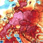
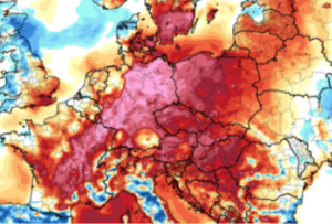
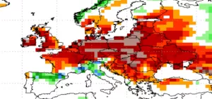
Base map: wxcharts.com (T2 anomaly on 22.2.2022 18Z)
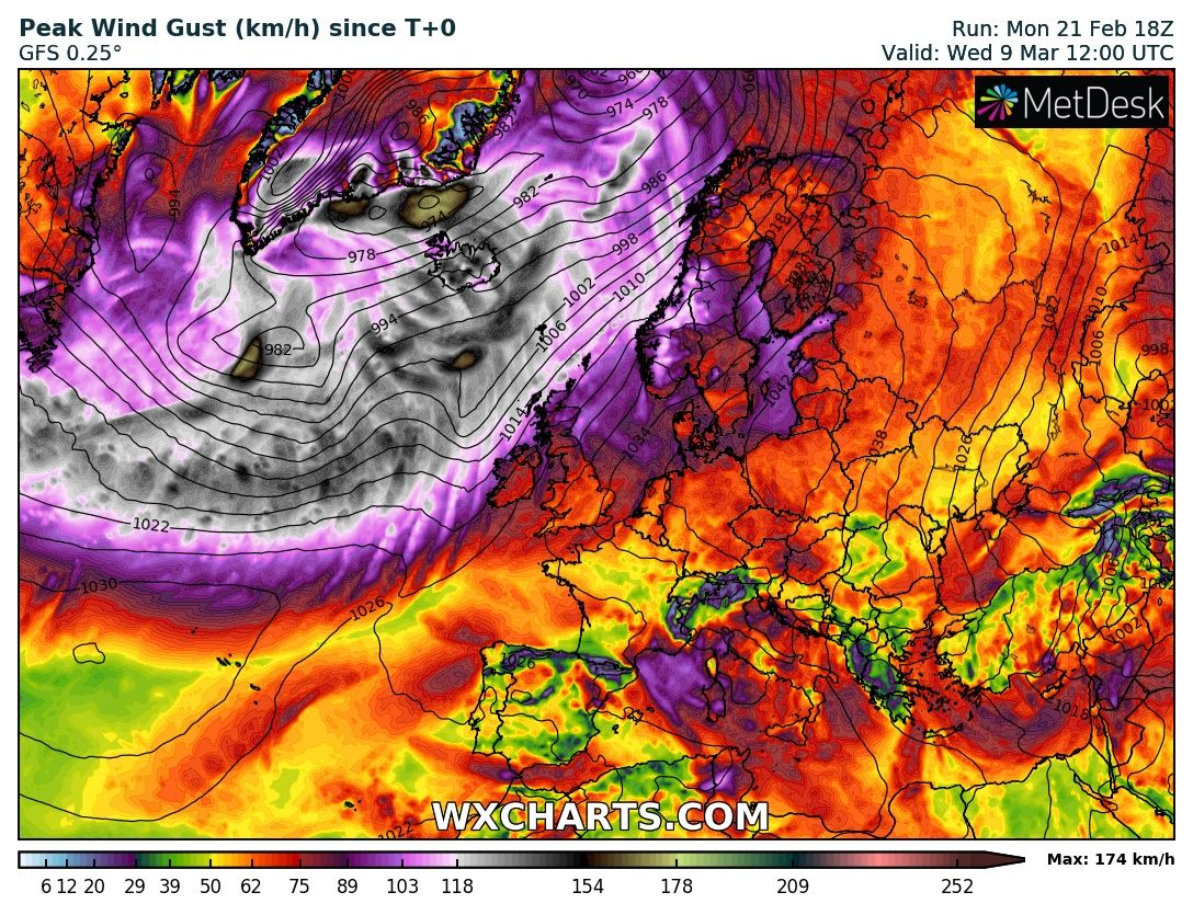
Effect of the following NAO+ windstorms will be until 10. March 2022 limited to northern parts of Europe /wxcharts.com

