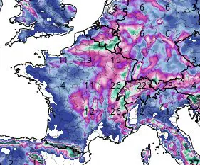
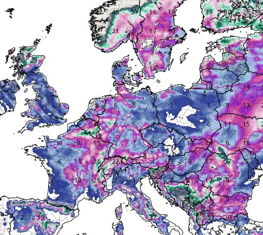
-20°C in France still possible, snow is forecasted almost everywhere in France and Benelux
In the last series of articles (our homepage), since late October 2021, we have been warning before an early arrival of winter conditions in Europe, which were forecasted to strengthen until the end of the month.
NAO index is forecasted to fall into values around -1 already in 10 days /https://mkweather.com/the-end-of-november-should-bring-a-very-low-nao-index-greenlandic-arctic-and-siberian-winter-should-come-very-early-peaks-between-20-11-20-12-2021//, with a result of extremely cold conditions across wider European region /https://mkweather.com/winter-should-be-strengthening-until-new-year-2022-wider-european-region-estimates// until Christmas 2021, or maybe even a New Year 2022.
These forecasts were supported by ensemble outputs (GFS model) /https://mkweather.com/extended-gfs-ensemble-forecast-for-european-region-until-30-november-2021-arctic-winter-will-come-already-next-week//.
Near very low AO index, winter-like patterns are already appearing in the USA, Siberia, China, or North Africa /https://mkweather.com/severe-snowstorms-in-midwest-during-thanksgiving-25-11-are-possible/; https://mkweather.com/delyankir-418c-dzalinda-408c-oymyakon-405c-if-these-frosts-had-struck-a-week-earlier-they-would-have-been-historic/; https://mkweather.com/northeastern-china-hit-the-strongest-blizzard-in-116-years-in-taiwan-and-japan-still-summer/; https://mkweather.com/the-first-snow-in-algeria-morocco-and-tunisia//.
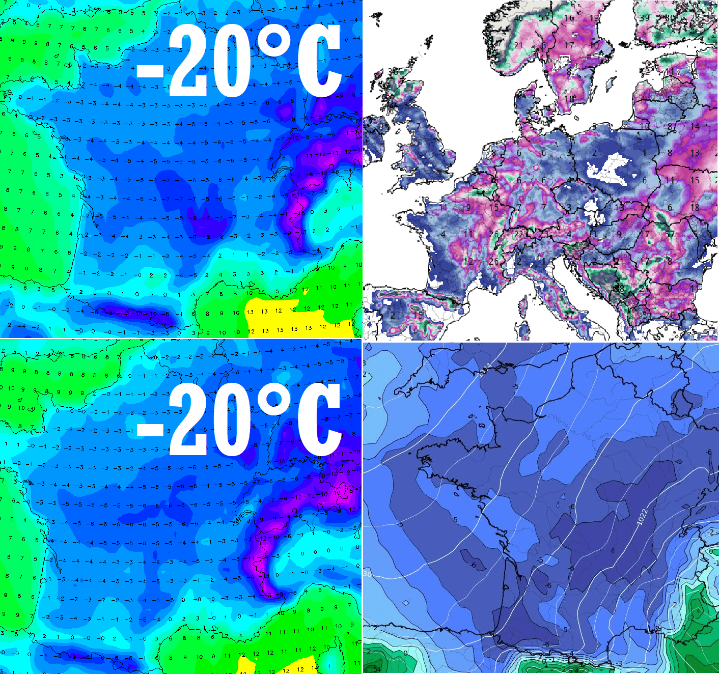
The newest forecasts for France count with a possibility of values up to -12°C for basins and valleys around 29. November 2021, which should mean a very rare potential for temperatures up to interval -15/-20°C in Alpine basins and valleys or in Central Massif (lower situated basins and valleys below 1000 MASL).
These temperatures are deeply below November’s and early December´s historic averages.
Severe frosts below -10°C are possible across almost all continental parts of the country, and very probably we will see -10/-15°C in Ardennes, Belgium, such as -5/-10°C in the Netherlands.
T850 hPa should reach below -5/-10°C during the coldest days in France.
Moreover, snow cover and possible blizzards are forecasted mainly forč eastern parts of France and Belgium, while snowing is forecasted almost in all France, Belgium, the Netherlands and Luxemborug.
Air, which will flood Europe soon, will have origin in Greenland, where record -55,6°C was on 7. November measured – so extremely low temperatures have never appeared above Summit so early, so far /https://mkweather.com/summit-camp-greenland-556c-possibly-never-has-been-so-extremely-cold-so-early-in-the-season//.
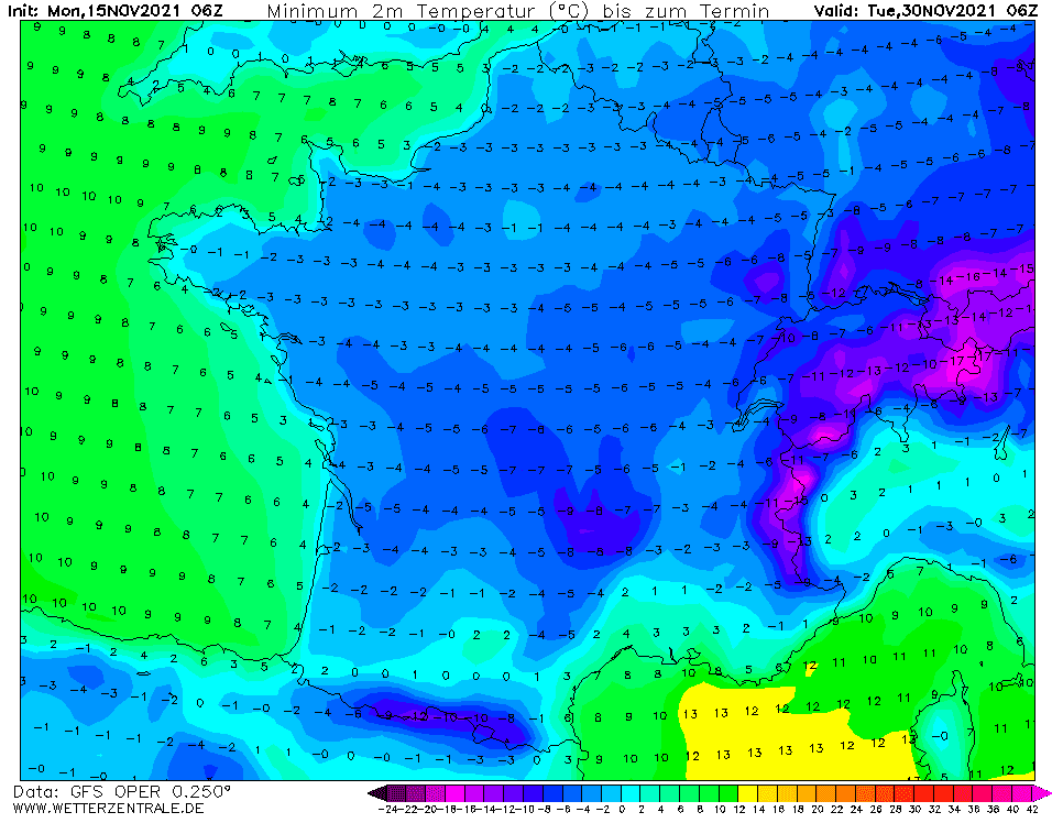
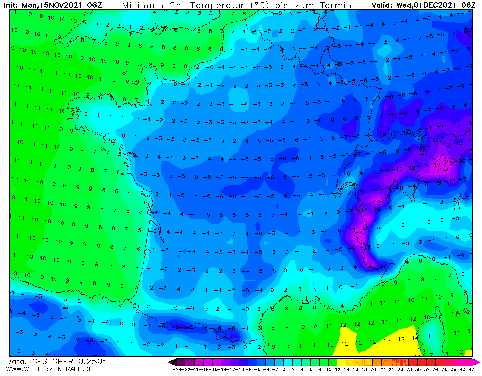
Source: wetterzentrale.de
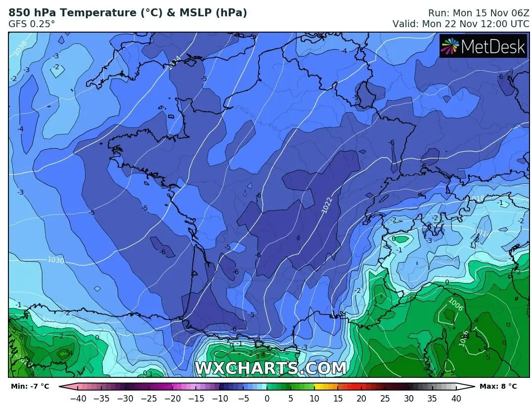
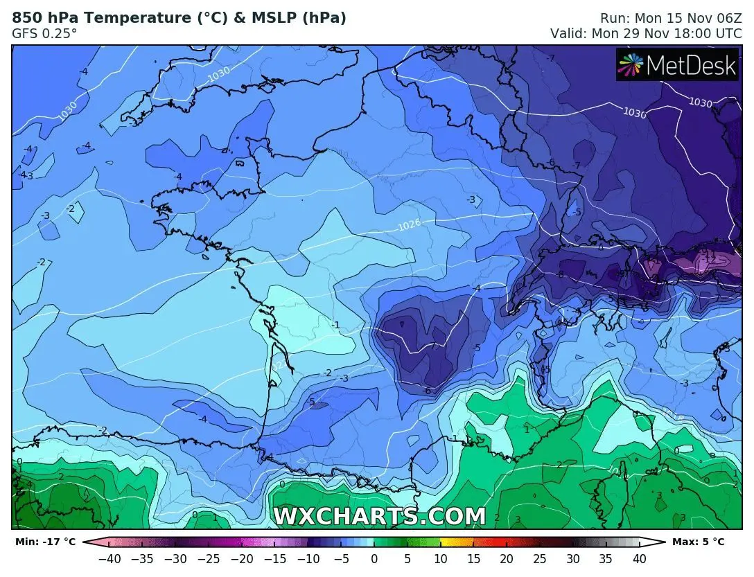
Source: wxcharts.com
Source: tropicaltidbits.com


