Only a few day ago we wrote about cyclone Niran, which hit nortwestern Australia /https://mkweather.com/cyclone-niran-hit-australia-with-160-km-h-winds-in-new-caledonia-250-km-h-is-expected-remnants-hits-new-zealand// with 160 km/h winds and left here regional floods or damages after severe winds.
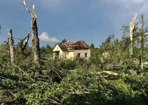
Cyclone before a few days was shifting along New Caledonia, with Category 5 strength and 205 km/h 10-minnute sustained winds, what caused in densely populated island many damages.
The system was developing over region already between 25.-28. February, but only on 1. March, northward from Queensland it strengthened to a tropical cyclone. On 5. March, tropical cyclone strengthened to the highest possible, Category 5 and shortly after this, hit New Caledonia in full power.
A pressure in the middle of a system reached only 931 hPa.
Southern parts of New Caledonia were hit by cyclone with strength of Category 4, and center of the cyclone was shifting above the most populous part of the island, capital Noumea.
Remnants of tropical system are shifting towards northern New Zealand, but their effect in country will be minimal.
Australia thanks to La nina expects after stromy Summer 2020/2021 very strong cyclone activity in Spring 2021, too /see our Australia Spring 2021 forecast: https://mkweather.com/autumn-2021-forecast-for-australia-2021//, but rest of the month will be in western Oceania drier /https://mkweather.com/march-2021-outlook-for-the-usa-and-global-tropical-harazds-outlook-for-world-from-noaa//. On the other hand, the next tropical cyclones, or least depressions, will appear along northern coast of Australia during the following weeks.


