A historic heatwave has seen temperatures exceed 34°C (93.2°F) for the sixth day in a row for the first time since 1961 in UK. The high temperatures have lasted well into the night, creating a tropical nights which are uncomfortable for many as temperatures do not fall below 20°C as we sleep.
London with maximum temperatures from Friday to Wednesday 7.-12. August: +36,4°C, 33,4°C, +33,8°C, +35,5°C, +35,4°C and +35,7°C has experienced with the longest intense heatwave in history. In parts of southeastern England, temperatures every day of 6-day period, from Friday, reached more than +34,0°C.
In Tuesday and Wednesday 11.-12. August 2020 were measured a tropical nights in London, with minimum temperatures +21,2°C and +21,7°C. Between the normal period 1961-1990 only 8 tropical nights in London occurred.
Heatwaves are replaced with severe storms in part of UK from northwest during last days, on Wednesday floody storms hit e.g. Edinburgh, but too many cities in Scotland, Wales or England.
Situation is difficult in Germany, too. On Thursday, it will be 7 supertropical days over +35°C in country with maximum temperatures around Sunday, 9. August up to +39°C (Trier-Petersberg, +38,6°C). Extremely hot was in Hamburg, northern Germany, on Tuesday, +33,3°C. Western parts of Germany already hit severe storms with hail up to 4 cm and severe winds.
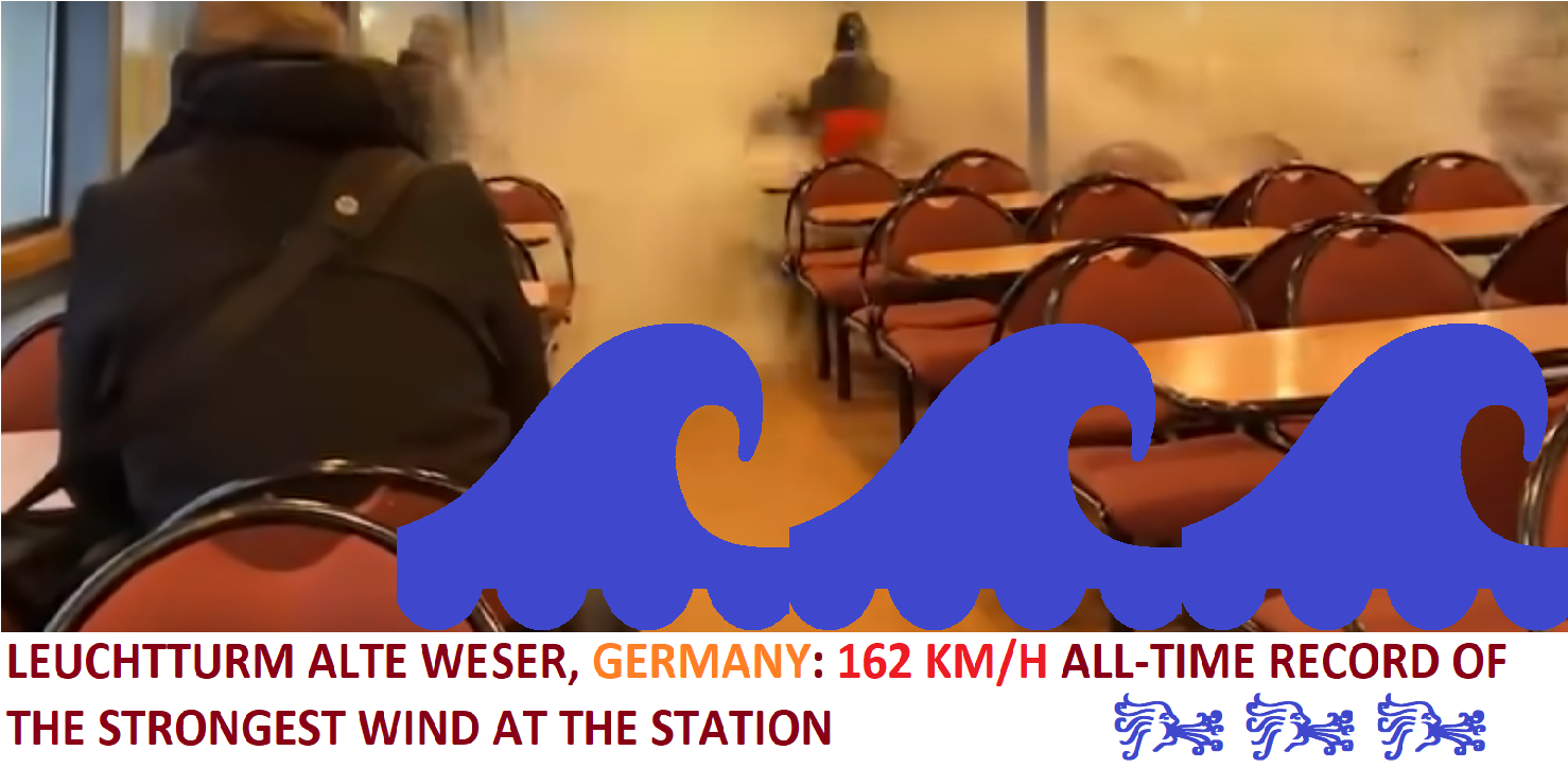
Koeln reported severe gusty storm with wind gusts up to 108 km/h and Paris up to 104 km/h on Wednesday. In Edinburgh, the capital of Scotland has fallen 53,2 mm of rain and in Koeln, Germany, 63,5 mm during the storms from Tuesday to Wednesday, with flash floods.
Storm area and hot air will be shifting during rest of the week across Central Europe, Italy and Balkan, with possible severe storms and flash floods.
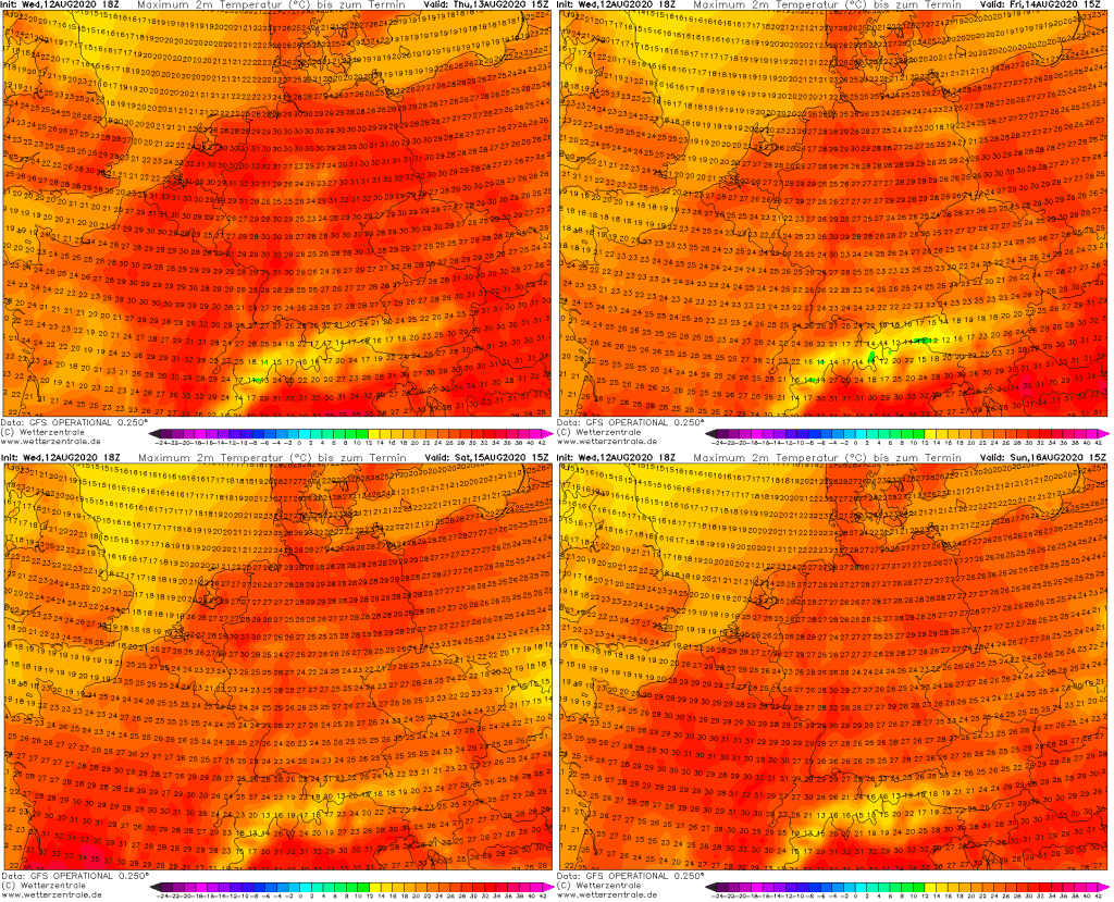
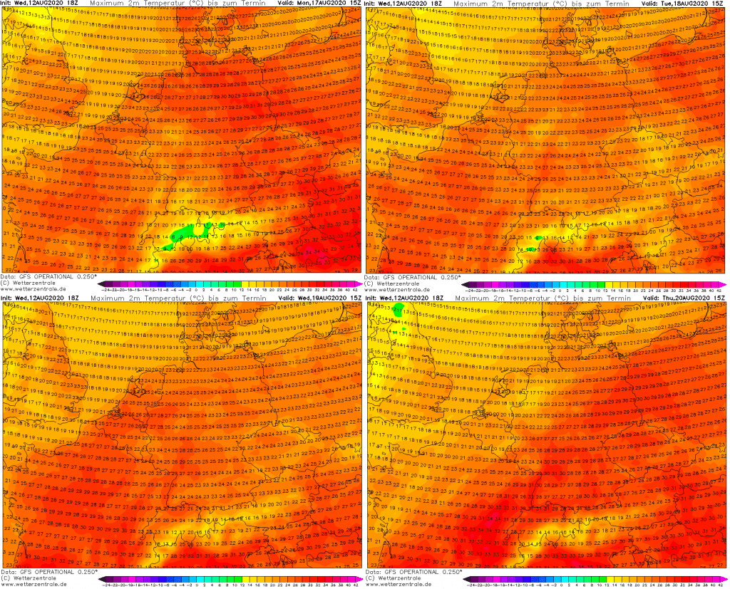
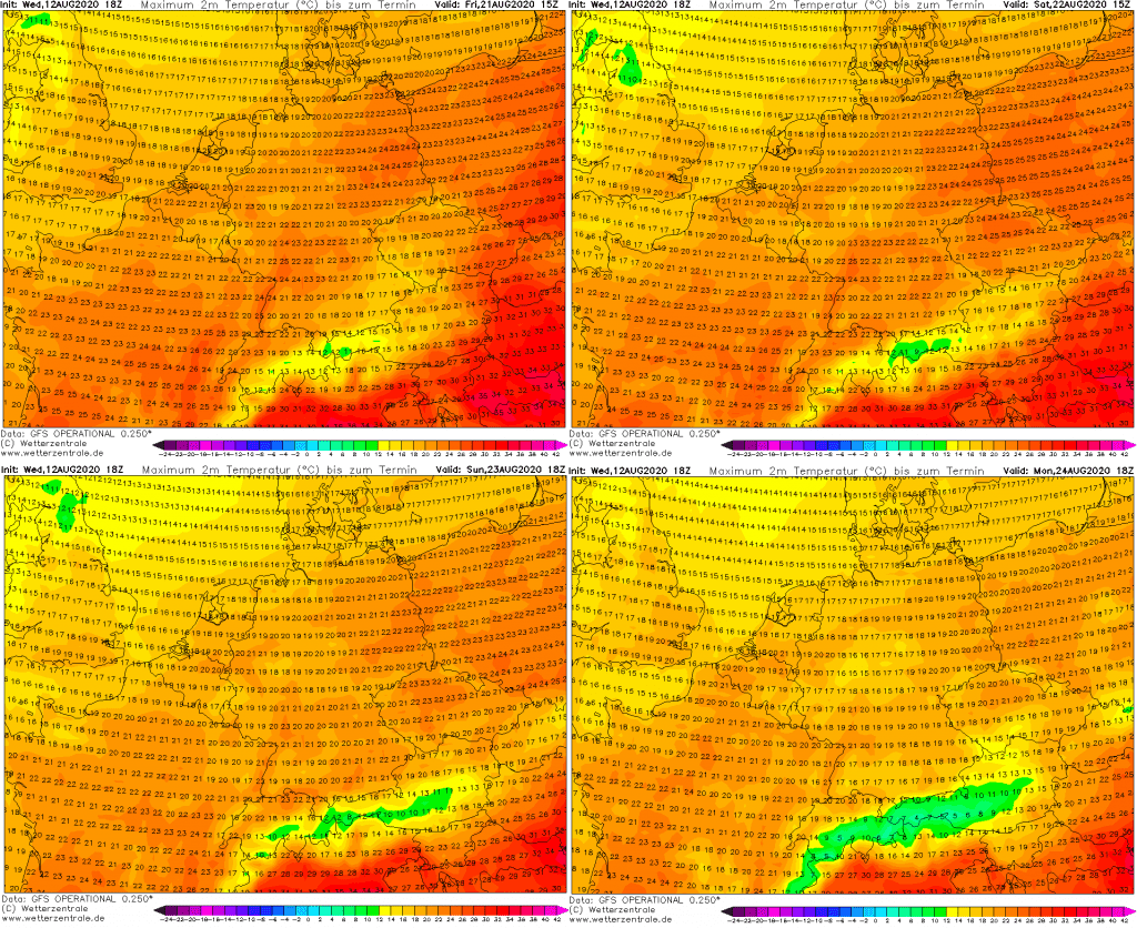
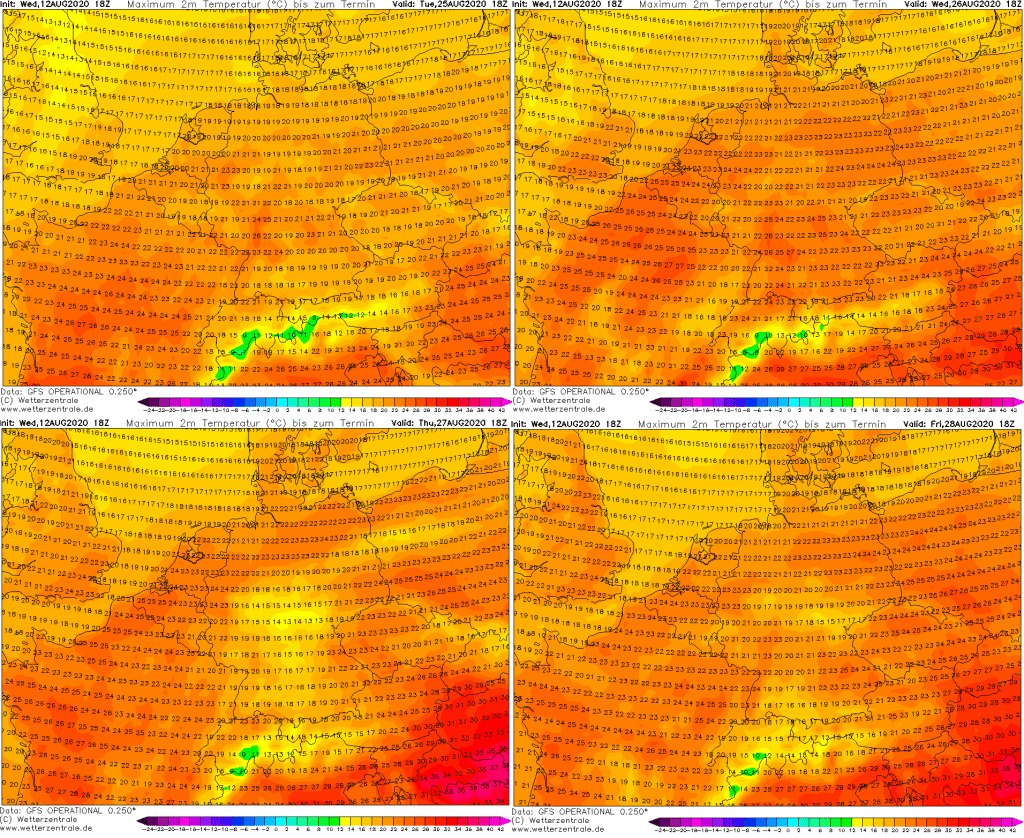
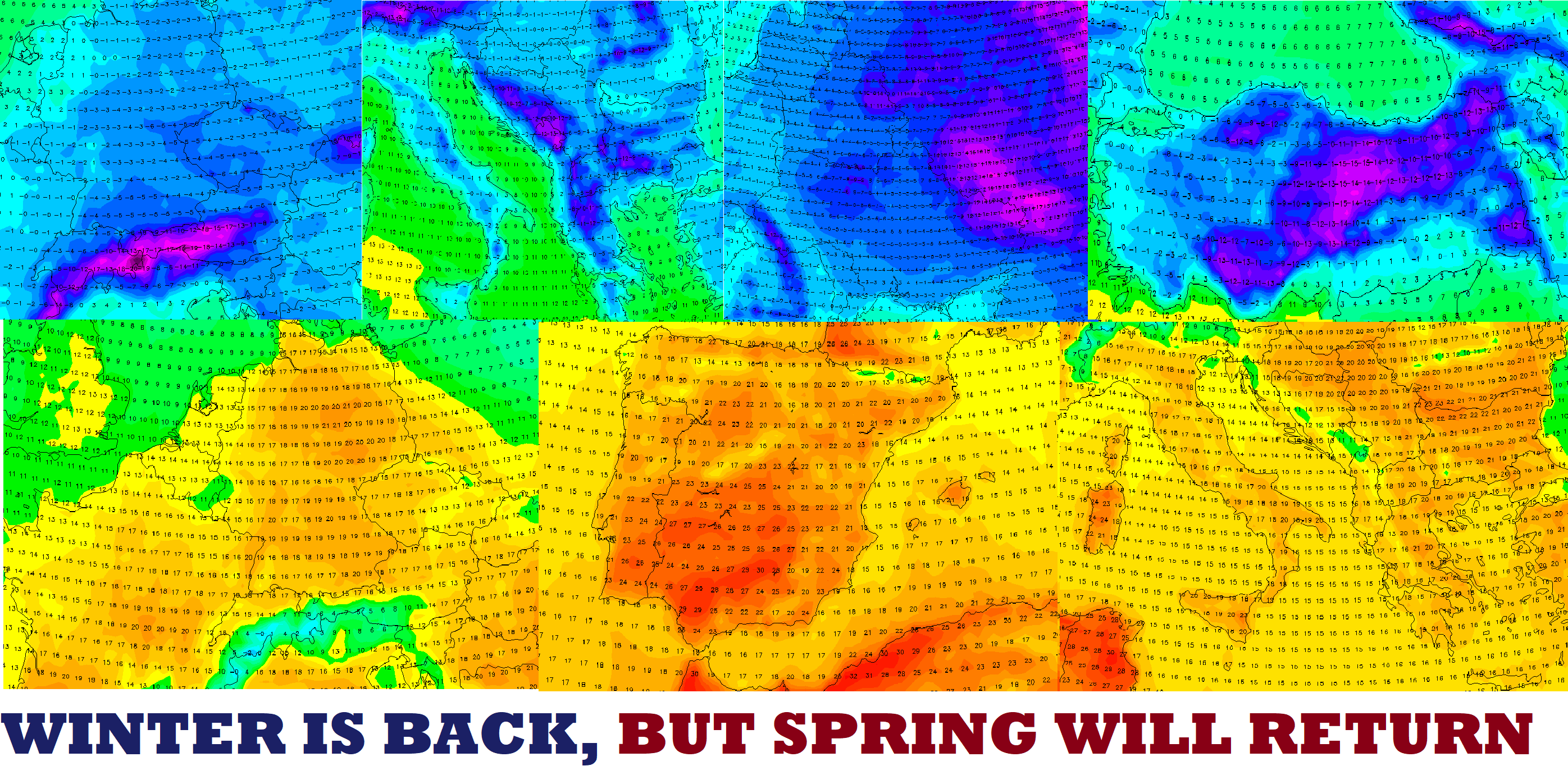
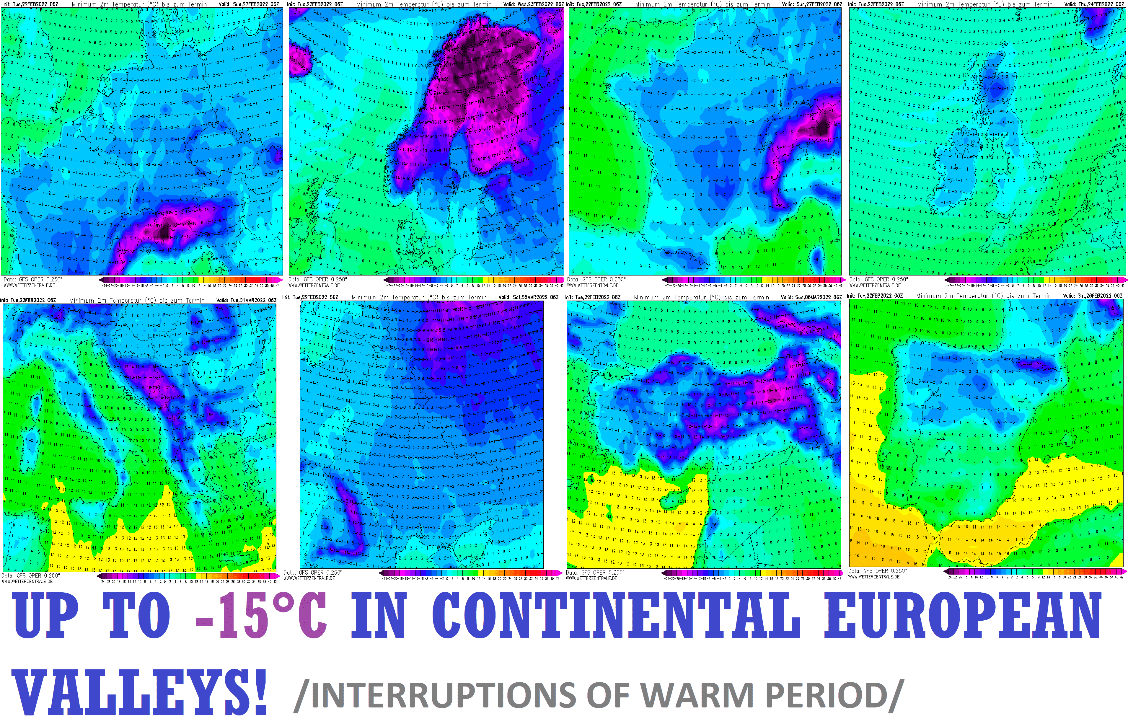
New GFS is very cold for large parts of Europe for long time after this heatwave, therefore, use hot times cleverly and prepare to early arrival of autumn.
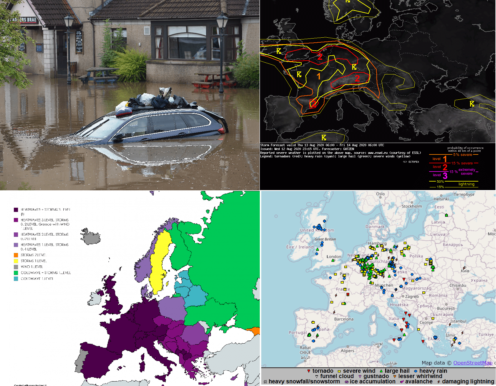
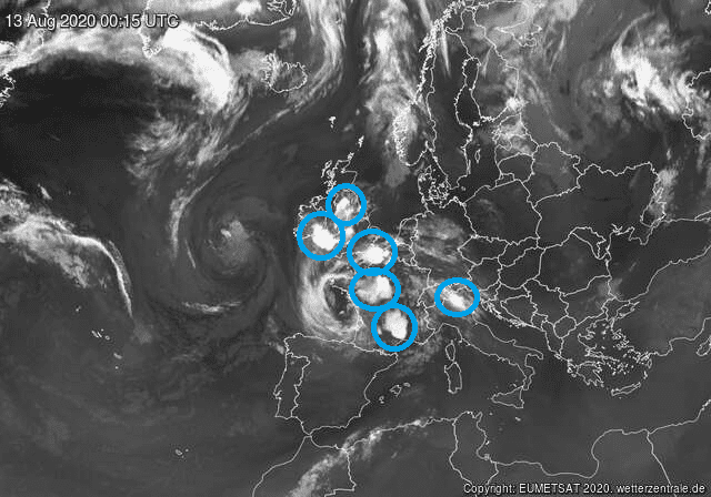
Storm cells over western Europe at midnight from Wednesday to Thursday 12.-13. August 2020 /sat24.com/:
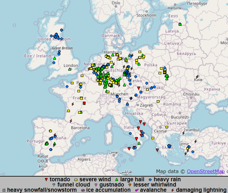
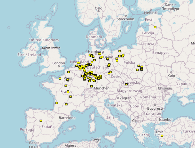
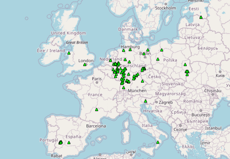
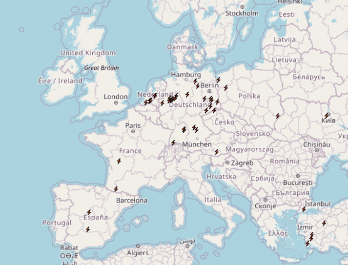
Reports of heavy rain, severe wind gusts, hail and damaging lighting from Europe from last days /ESWD/:

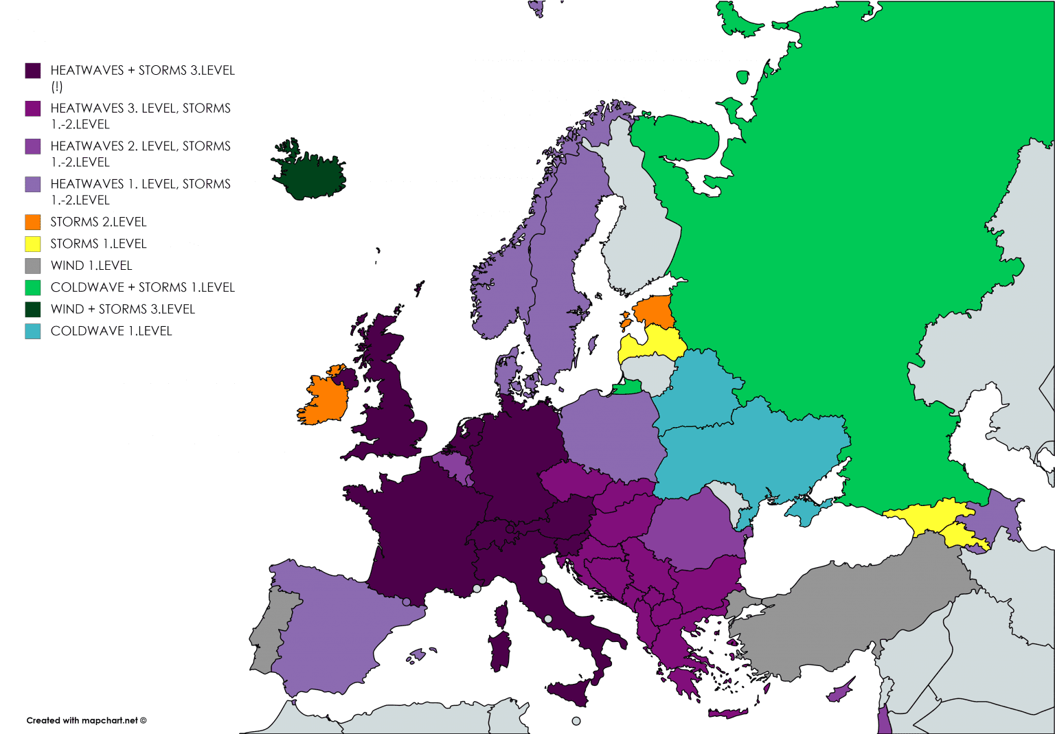
Storm forecast from Estofex to Thursday-Friday:
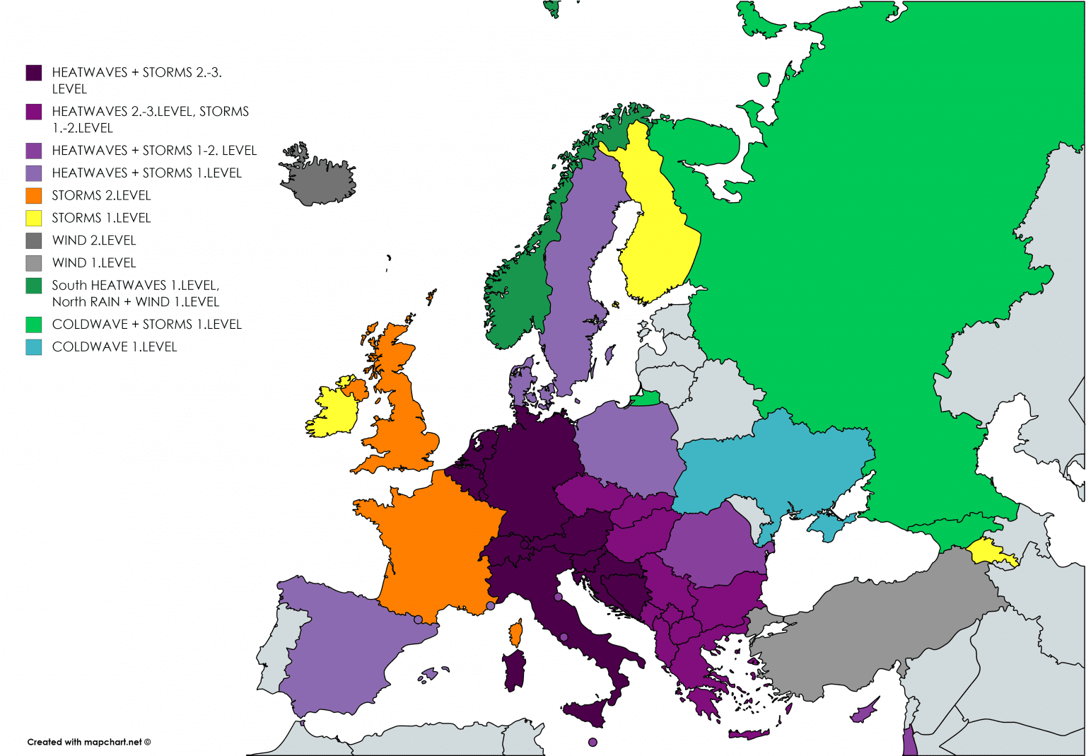
Mkweather warnings – Thursday and Friday 13.-14. August 2020:
Documentation of UKs floods from Wednesday, 12- August 2020 /The Independent, The Sun/:


16-day maximum temperature outlook by GFS (13.-28. August 2020) /wetterzentrale.de/: