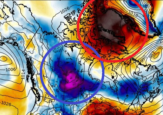
While the USA are experiencing with a short heatwave these days /https://mkweather.com/110f-43c-in-california-and-97f-36c-in-iowa-during-early-heatwave-in-the-usa//, Canada reports extremes from extremely cold to extremely warm.
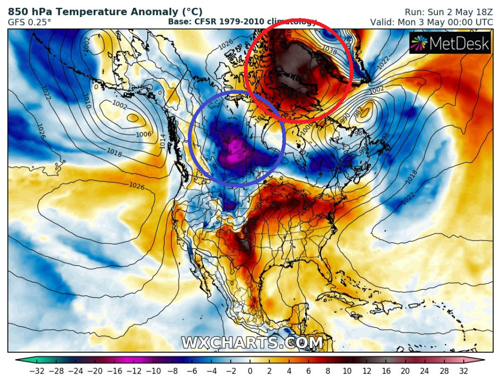
Untraditionally warm is over the Arctic /https://mkweather.com/news-from-the-arctic-extremely-warm-these-days//, where next temperature records occurred at the weekend.
Alert, northernmost Canadian weather station, reported +2,4°C on 30. April 2021, what is the first time in history above 0°C in month April.
Simultaneously, Key Lake, northern Saskatchewan, central Canada, reported extreme coldwave, with minimum temperature on 27. April only -25,0°C.
This value is arriving after interesting temperature records in Quebec, Winnipeg or Saskatoon /https://mkweather.com/quebec-canada-extremely-cold-270c/; https://mkweather.com/the-strongest-late-frosts-in-southern-canada-since-1956-58-saskatoon-148c-winnipeg-115c//.
Central Canada is according to researches a region, where are late-season frosts more common than in the past /https://mkweather.com/dangerous-may-frosts-for-the-usa-between-5-15-may-2021-world-map-of-late-frosts-trends-1959-2017//.
Western Canada and Alaska are often extremely cold during La nina and extremely cold air masses are then shifting above central Canada or northern USA more than usual.
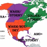
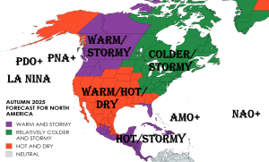
Meanwhile, in central and eastern USA, next coldwave is forecasted between 5.-15. May 2021, while in California will be extremely hot, with possible wildfires.
In northern parts of the USA coldwave will begin already in next days and it will be Arctic air directly from cold central Canada, which should bring the next late damaging frosts across the USA.
Canadian Arctic is expected to stay very warm until 12. May 2021, then after switch from NAO- to NAO+, cold air masses will start to develop above the region, including Greenland.
